Biodiversity Lab · ICAS 2026 / Bologna
From satellites to sustainable agriculture.
Our researchers Emilia Pafumi and Anna Lilian Gardossi represented Biodiversity Lab in Bologna with two SICANSE studies and one shared challenge: turning open Earth-observation data into reliable evidence for regional agricultural monitoring.
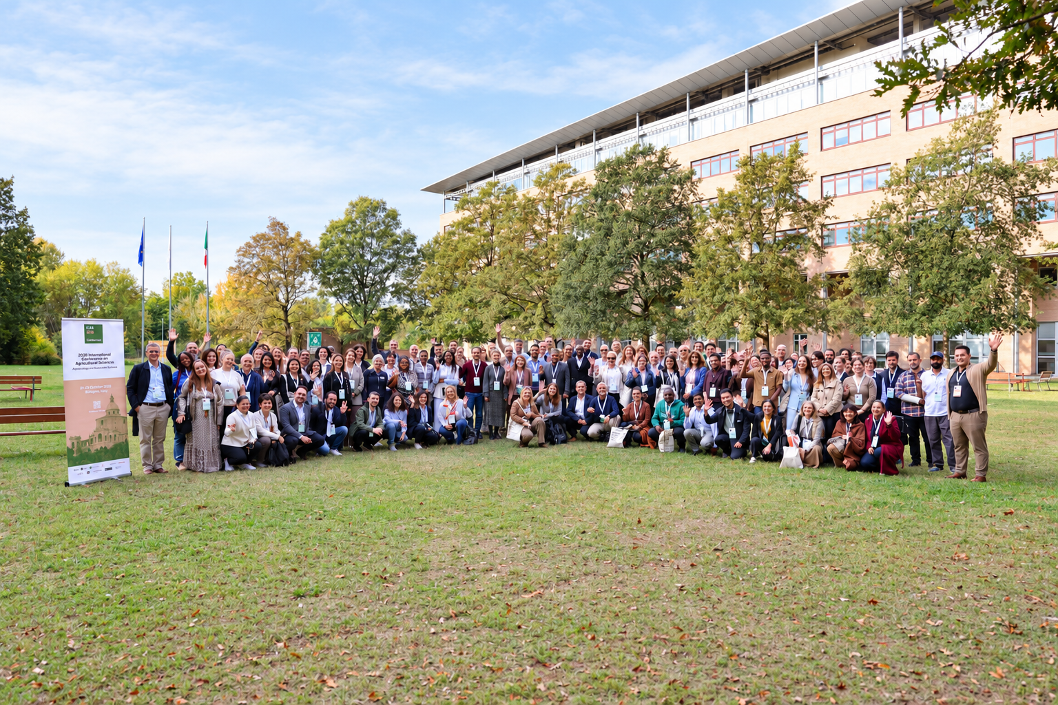
For us, ICAS 2026 was an opportunity to show how the remote-sensing work developed inside Biodiversity Lab is moving from methods to operational environmental evidence.
We were proud to be represented in Bologna by Emilia Pafumi and Anna Lilian Gardossi, two researchers whose work is central to our growing activity on agricultural and agro-forest monitoring. They presented two complementary SICANSE studies developed within the laboratory: Emilia on the regional mapping of crop diversity from open satellite time series, and Anna on the reliability of satellite indicators for crop residues and tillage conditions.
The two presentations also tell a broader story about how we want to use remote sensing: not simply to produce attractive maps, but to understand when an Earth-observation signal is sufficiently robust to support real monitoring, management and territorial decisions in Friuli Venezia Giulia.
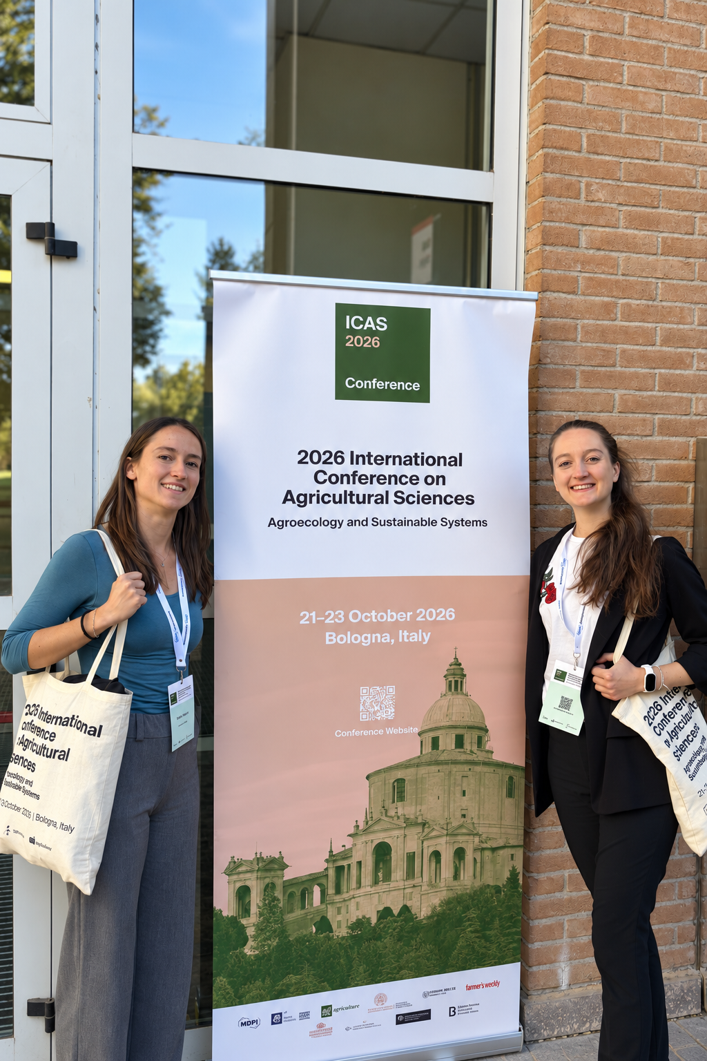
Biodiversity Lab at ICAS 2026
Our remote-sensing team brought two complementary questions to Bologna.
Emilia and Anna are part of the same research effort within Biodiversity Lab: translating satellite observations into information that can actually support sustainable agriculture. Their two contributions were developed within SICANSE, funded by the Friuli Venezia Giulia Region, and show how complementary skills inside the lab can address different parts of the same regional monitoring challenge.
Emilia Pafumi
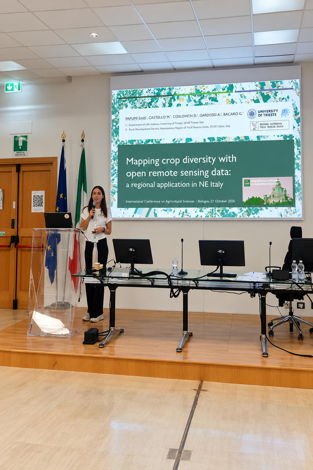
Mapping crop diversity with open remote-sensing data.
Crop maps are increasingly important for agricultural planning, biodiversity assessment and sustainability monitoring. Yet two problems remain difficult: distinguishing many crop types when a few dominant crops occupy most of the landscape, and maintaining classification accuracy from one year to the next.
In her ICAS contribution, Emilia presented the crop-mapping line of work she is developing within Biodiversity Lab and SICANSE. The workflow combines approximately 100,000 parcel-level reference polygons with weekly Sentinel-2 composites from 2019 to 2025, retrieved through openEO. Random Forest models use phenological parameters and spectral indices to classify crops during the two main growing seasons.
Common, well-represented crops — including wheat, rapeseed, maize and soybean — reached good classification performance, while rarer crops remained harder to distinguish. The key operational warning came from temporal transferability: a model trained in one year does not automatically remain reliable in another.
This makes interannual variability a design issue rather than a nuisance. Multi-year training and complementary information are therefore central to the next generation of regional crop-mapping workflows.
Anna Lilian Gardossi
Can satellites reliably detect crop residues?
Crop-residue retention and reduced tillage can improve soil structure, biological activity and long-term fertility. But monitoring their adoption independently of farmer declarations is difficult, especially across large and heterogeneous agricultural regions.
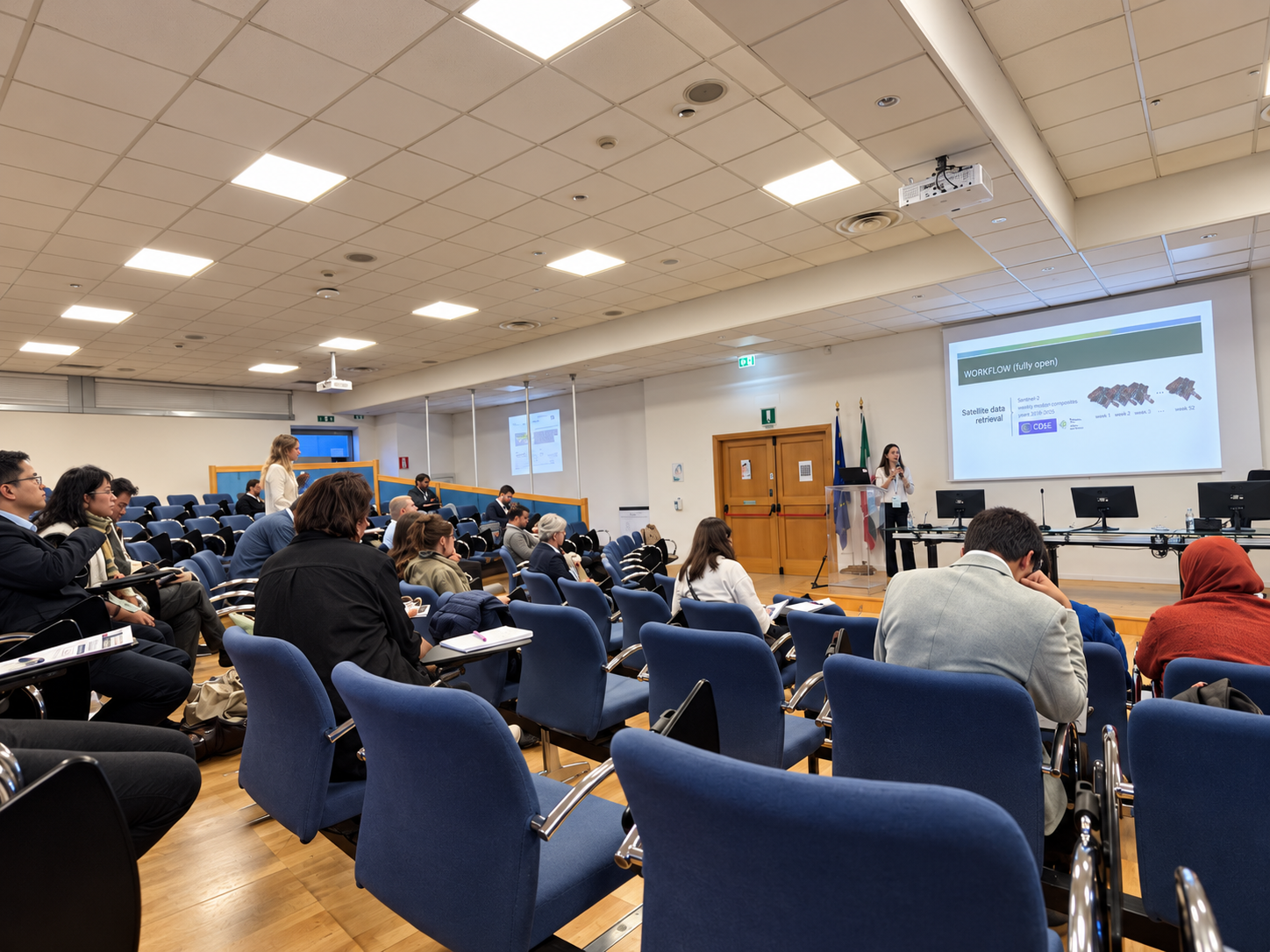
In parallel, Anna brought to ICAS another strand of our SICANSE research, focused on whether satellite data can provide an independent view of agricultural management. She tested the Normalized Difference Tillage Index (NDTI) using biweekly Sentinel-2 time series from 2023 across approximately 200,000 parcels and 15 crop types, comparing the signal among conventional, minimum-tillage and no-till practices.
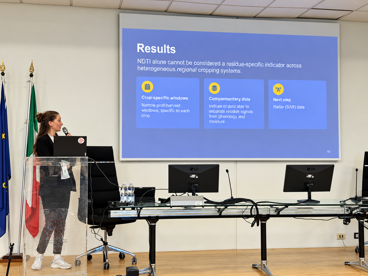
The result is important precisely because it sets a limit. NDTI closely tracked NDVI and was influenced by vegetation phenology, organic cover and moisture. A clear post-harvest residue signal remained only for some crops, especially sunflower. Across heterogeneous cropping systems, NDTI alone cannot be treated as a residue-specific indicator.
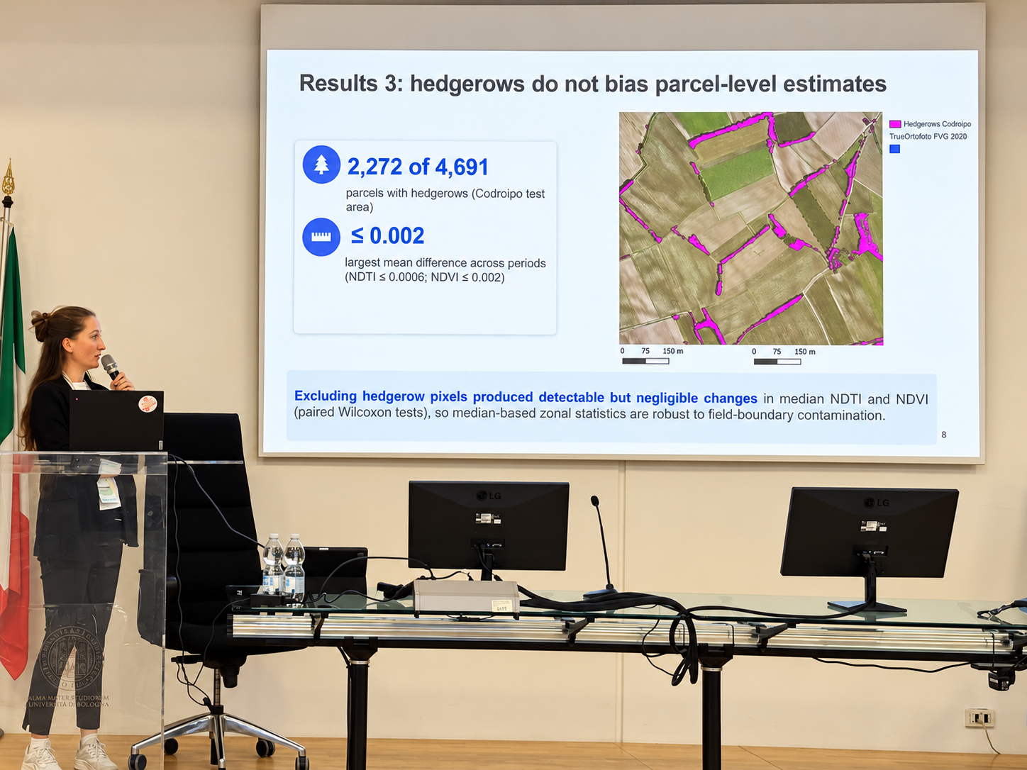
At the same time, the analysis showed that excluding hedgerow pixels produced only negligible changes in parcel-level median NDTI and NDVI. This supports the robustness of median-based zonal statistics against field-boundary contamination.
What travels beyond the conference
Three lessons for operational Earth observation.
Processing hundreds of thousands of parcels is useful only if the ecological meaning of the resulting indicators is validated.
A classifier or spectral index that works in one crop, season or year may not generalise automatically to another.
Sentinel-2, openEO, machine learning and reproducible analysis make it possible to refine monitoring systems as new evidence and data become available.
SICANSE · Friuli Venezia Giulia
From satellite images to territorial evidence.
For our laboratory, Emilia and Anna’s participation at ICAS 2026 is more than a conference report. It is a visible step in the research line we are building on the remote monitoring of agricultural and agro-forest systems in Friuli Venezia Giulia.
We are proud that this work is being carried forward by researchers within the group who combine ecological questions, geospatial analysis and large Earth-observation datasets. The objective is not to replace field information, but to extend it consistently and transparently to the scale at which regional decisions are made.
This is the contribution we want Biodiversity Lab to make through remote sensing: turning technical innovation into explicit, testable and genuinely operational ecological information.
Explore ICAS 2026 ↗