Measure.
Map.Understand.
We connect field ecology with UAVs, LiDAR, hyperspectral imaging, satellite Earth observation and spatial modelling to study biodiversity in a changing world.
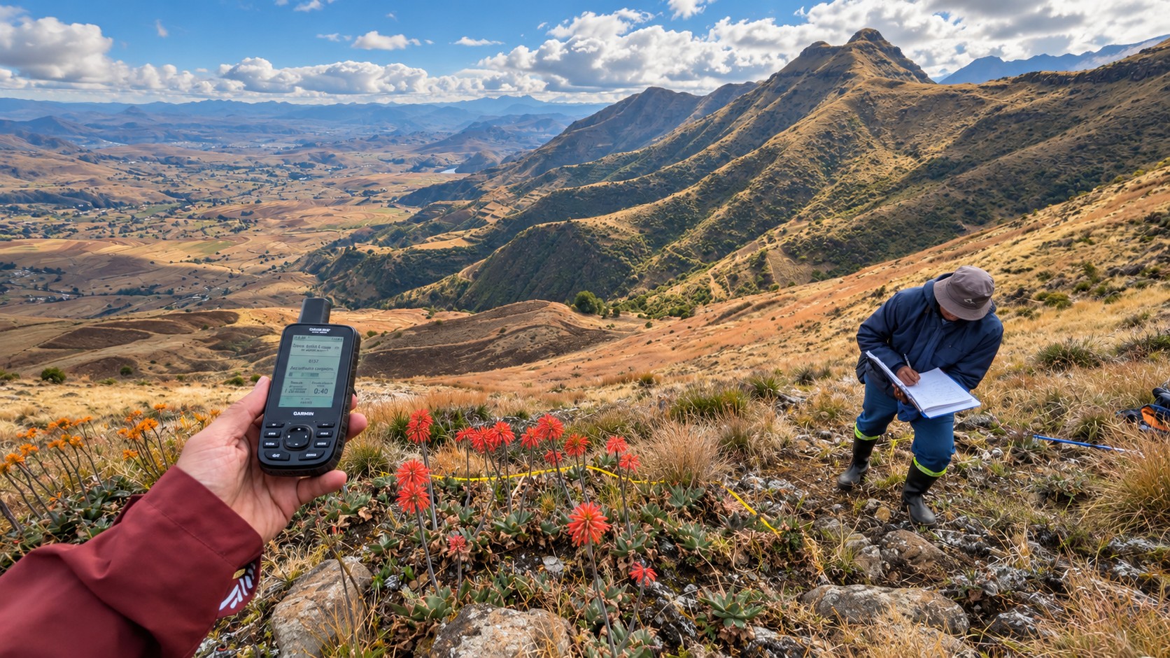
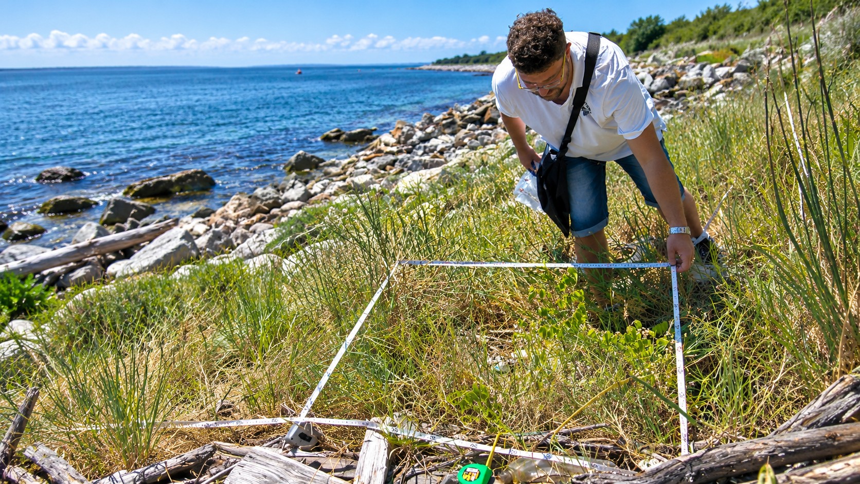
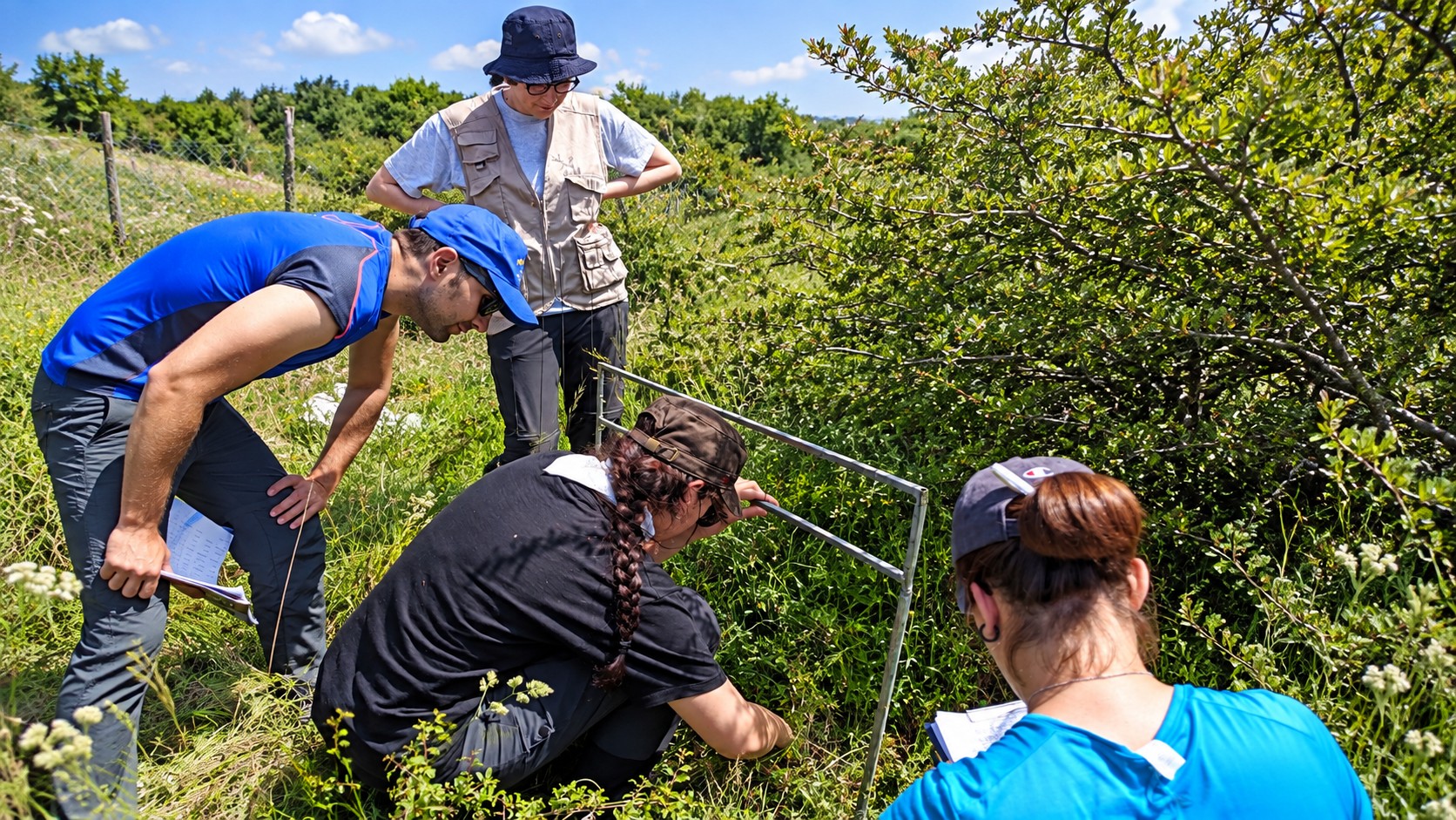
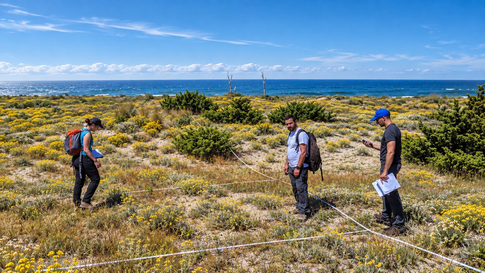
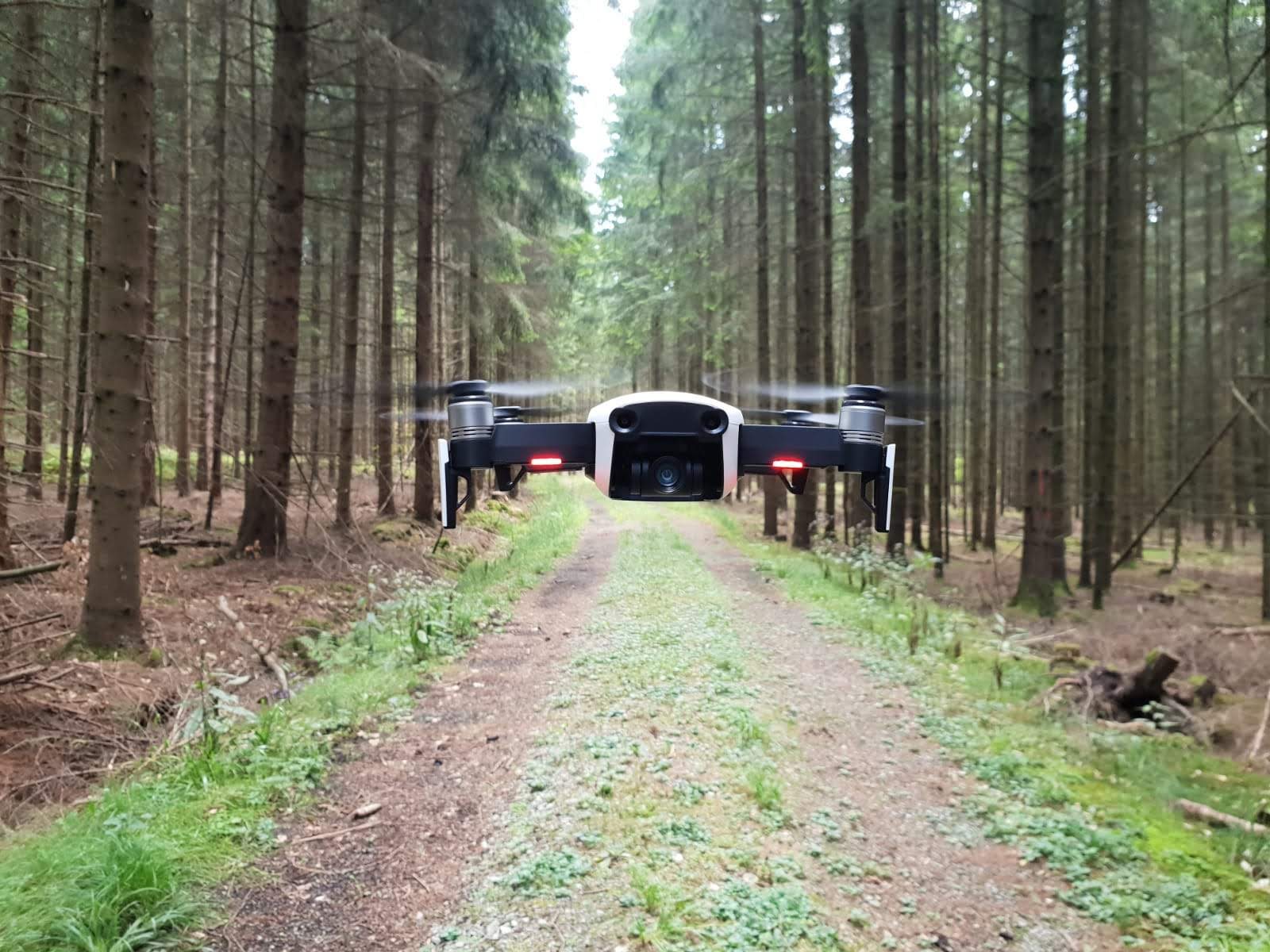
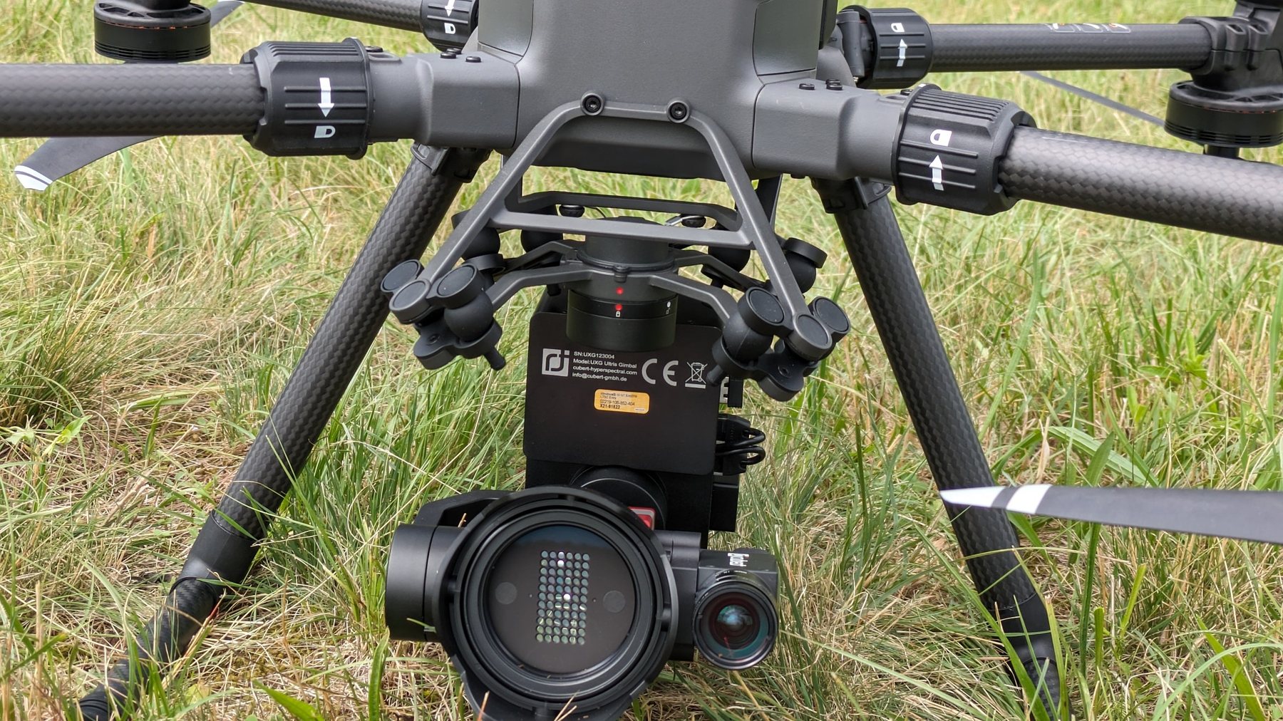
Ecological questions first. Technology where it adds evidence.
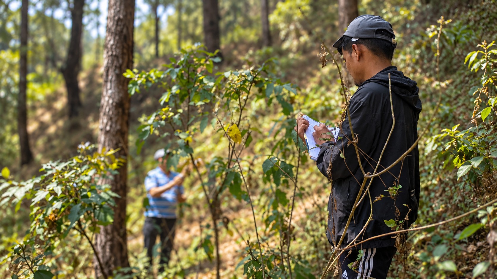
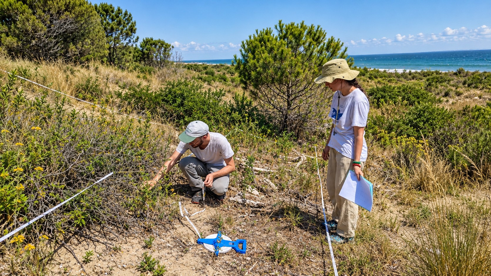
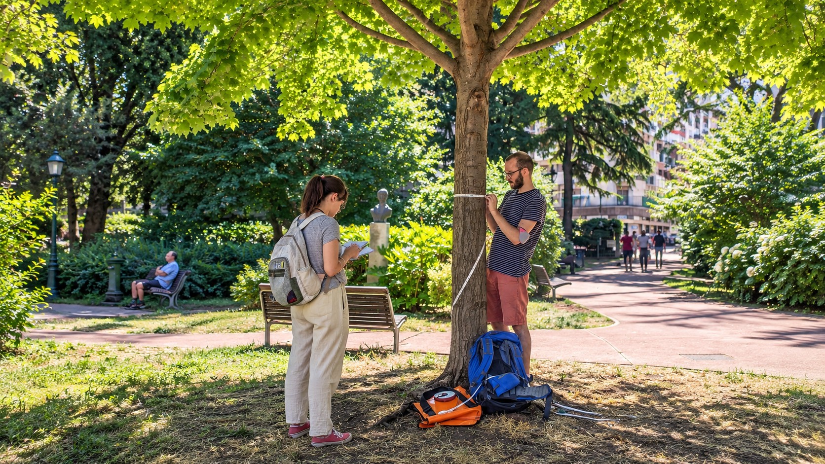
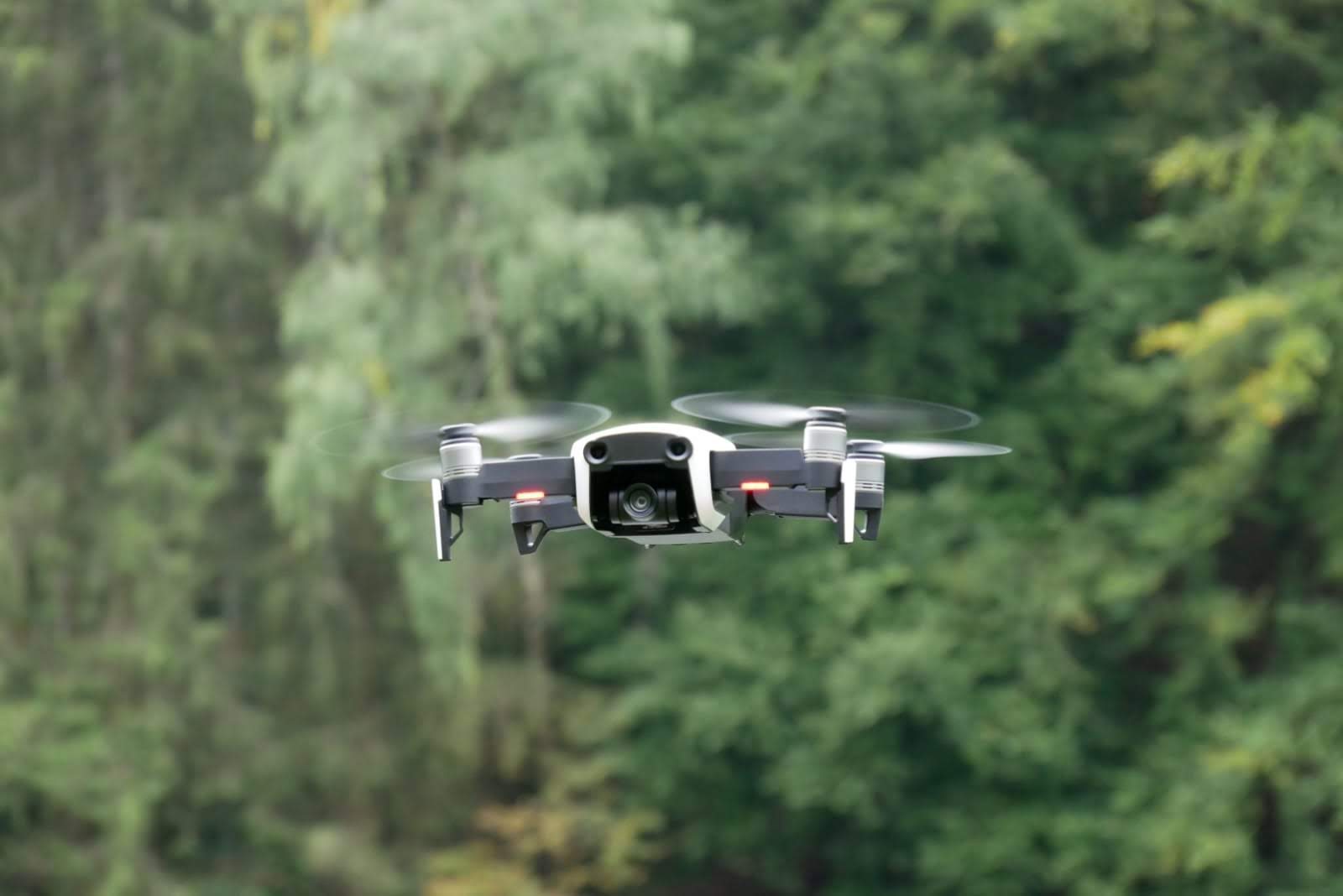
Our work is multidisciplinary by design. We connect field ecology, long-term biodiversity observations and experimental data with UAVs, LiDAR, imaging spectroscopy, satellite Earth observation, GIS and spatial modelling to understand how ecological systems are changing across scales.
Our aim is not only to describe environmental change, but to anticipate it: combining ecological knowledge and quantitative tools to identify emerging pressures, project future scenarios and provide evidence that can support biodiversity conservation, restoration and environmental decision-making.
Research is collaborative.
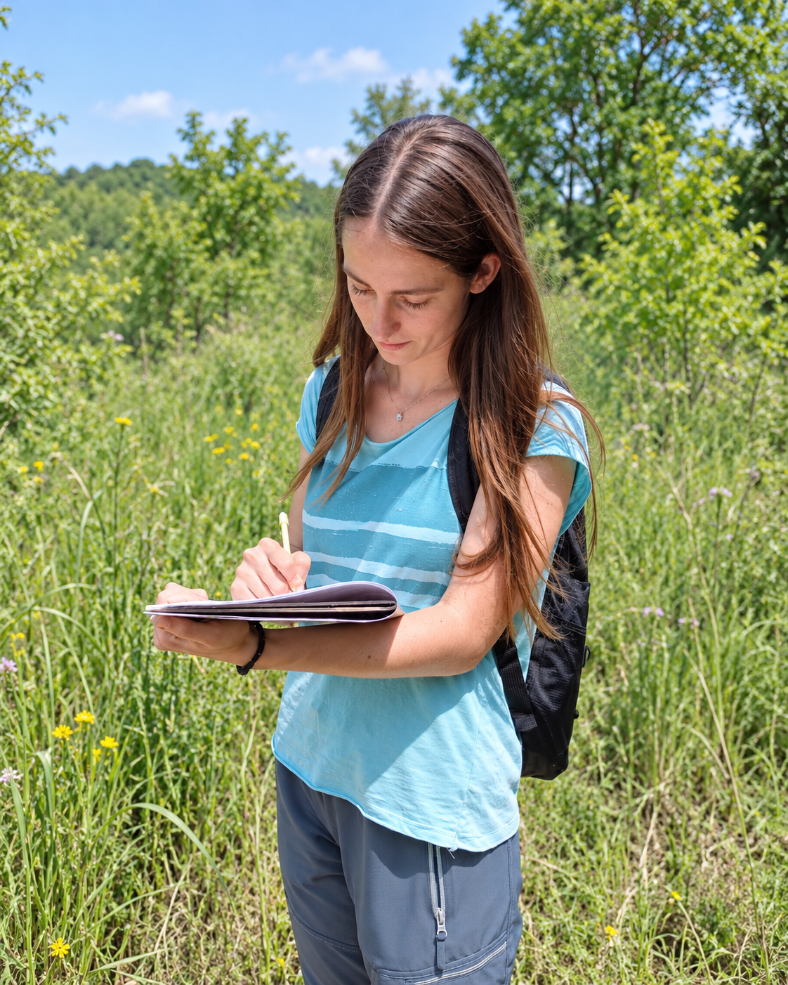
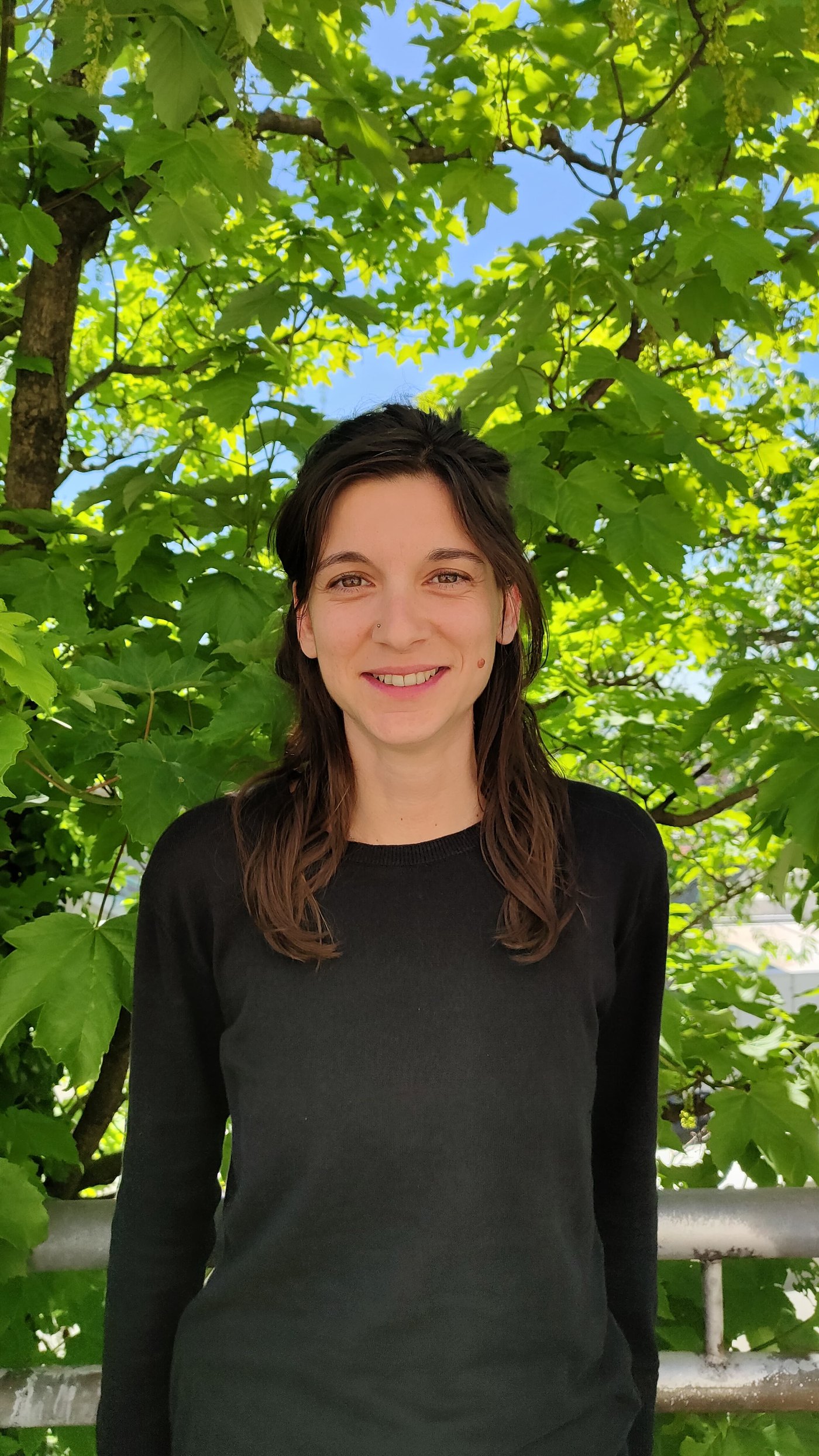
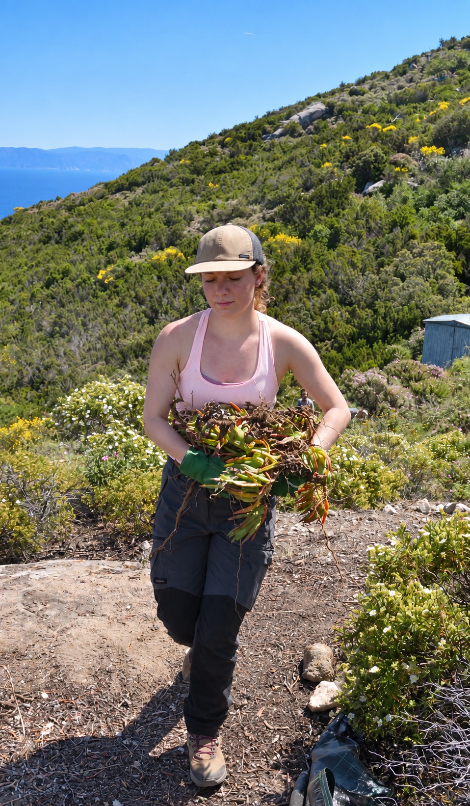
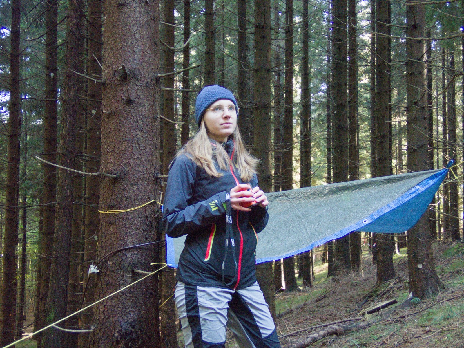
Biodiversity Lab brings together researchers and early-career scientists working across field ecology, remote sensing, biodiversity assessment and spatial analysis. Profiles evolve with current projects, visiting researchers and student work.
Meet the lab ↗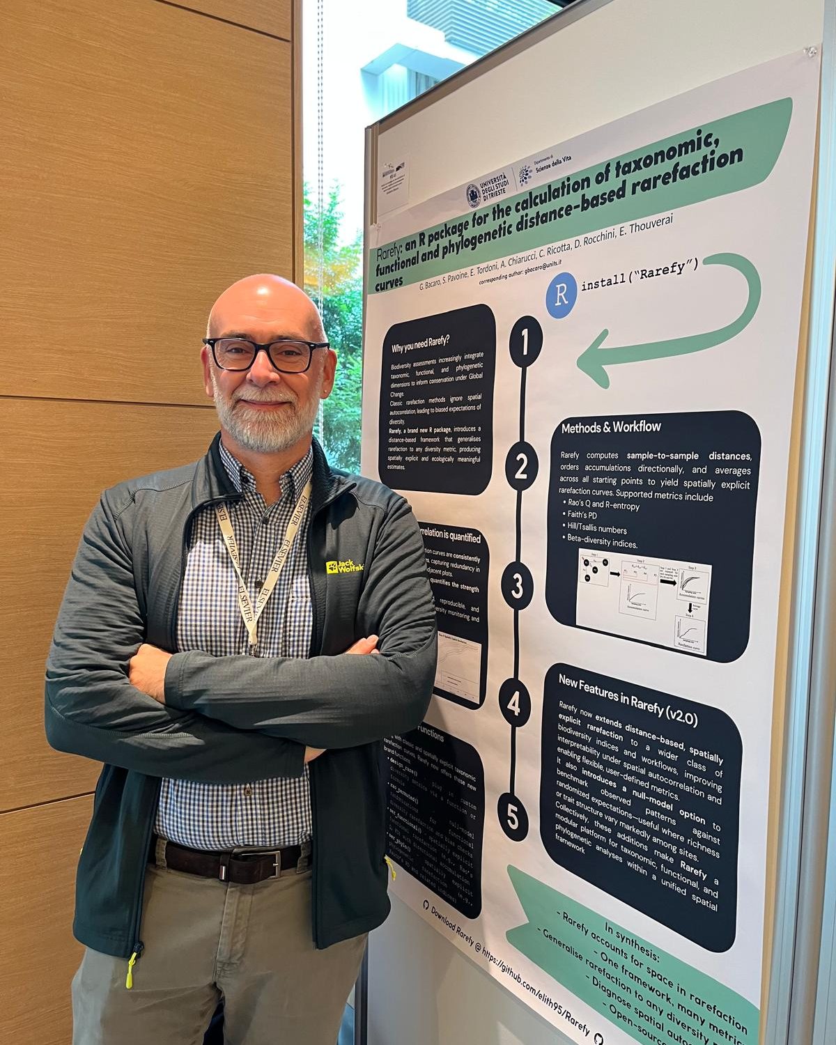
News from the lab.
Research updates from Biodiversity Lab: new results and publications, field campaigns, project milestones, collaborations, visiting researchers and activities in which the lab is directly involved.
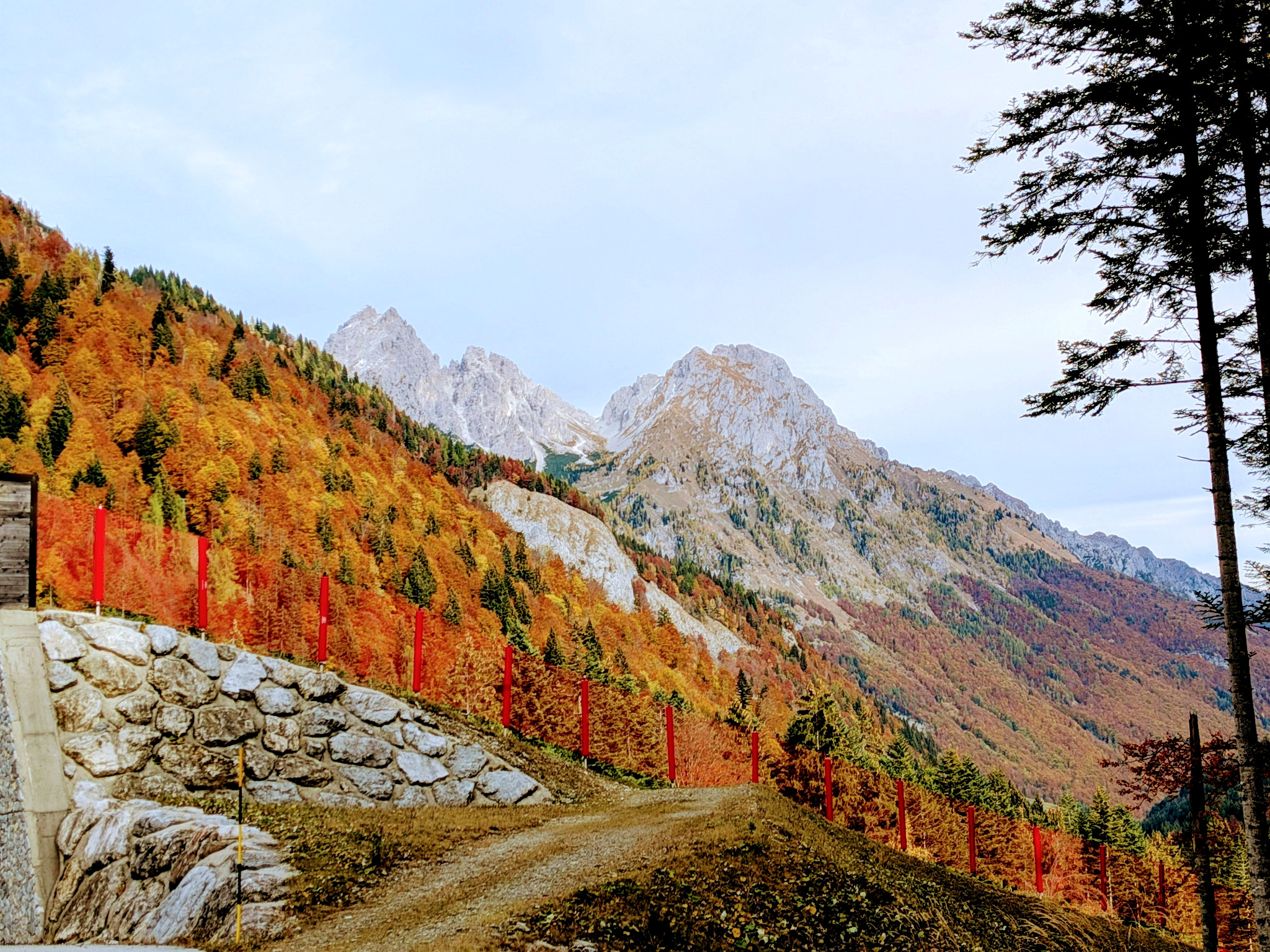
From replication plans to mountain paths: MountResilience in Val Pesarina
A MountResilience field visit in Tolmezzo and Val Pesarina brought climate adaptation, local knowledge and biodiversity into the same conversation — including our proposal to adapt participatory PPGIS to the Carnic Alps.
Read the story ↗From satellites to sustainable agriculture: Biodiversity Lab at ICAS 2026
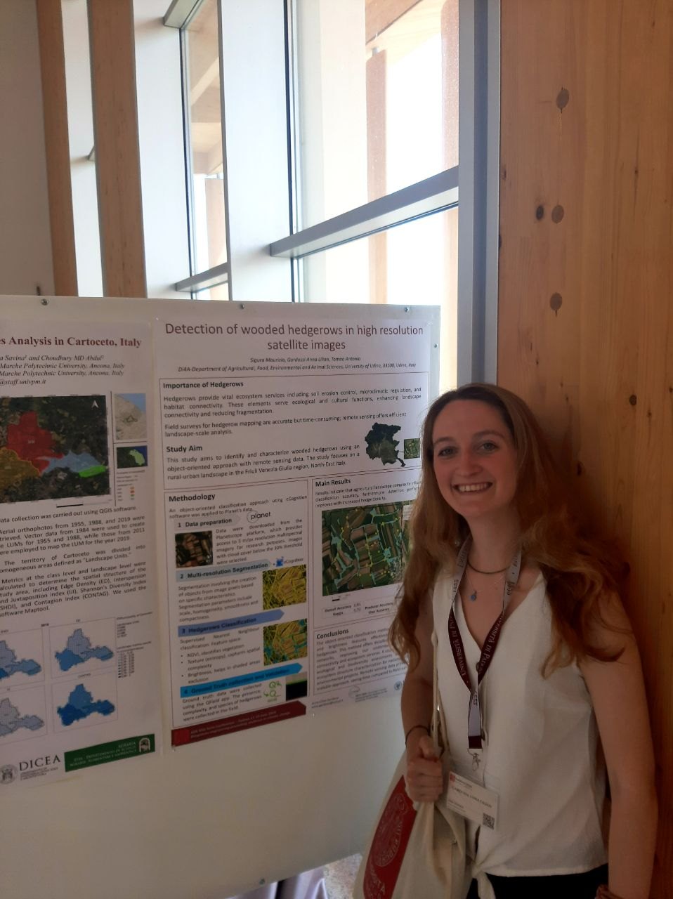
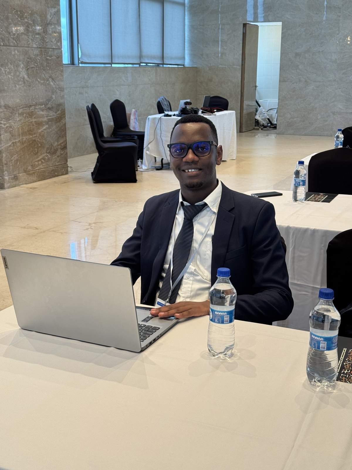
Biodiversity Lab was represented at ICAS 2026 by our researchers Emilia Pafumi and Anna Lilian Gardossi, who brought two SICANSE studies to Bologna on crop diversity and satellite monitoring of soil-management practices.
Read story ↗Can ecological networks also help alien plants?
Our new Landscape Ecology study shows why connectivity alone is not enough: habitat amount, fragmentation and network position jointly shape native and alien plant diversity.
Read story ↗More from the lab.
Browse all project news, fieldwork, publications, people and technology updates.
Open news archive ↗From photons to point clouds.
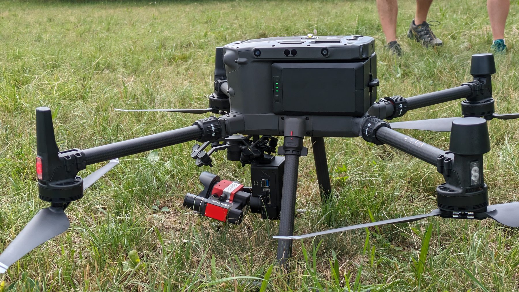
Advanced remote-sensing infrastructure meets ecological expertise: mission planning, data acquisition, calibration, analysis and ecological interpretation are treated as one integrated research workflow.
UAV LiDAR surveys
High-resolution 3D mapping for vegetation structure, canopy height, terrain modelling, gaps and complex habitats.
Hyperspectral imaging
Spectral characterization of vegetation and environmental surfaces for classification, monitoring and ecological inference.
Photogrammetry & mapping
RGB mapping, orthomosaics, surface models and repeat surveys for environmental and ecological applications.
GIS, WebGIS & spatial analysis
From spatial databases and geostatistical workflows to interactive maps and decision-support products.
Habitat & biodiversity monitoring
Integrated field and remote-sensing workflows for conservation, protected areas and ecological assessment.
Scientific collaboration
Methods development, experimental design, data analysis and project partnerships in biodiversity and global-change research.
New research. New perspectives.
Explore our latest publications, where innovative methods, ecological insights and international collaborations come together to advance biodiversity research.
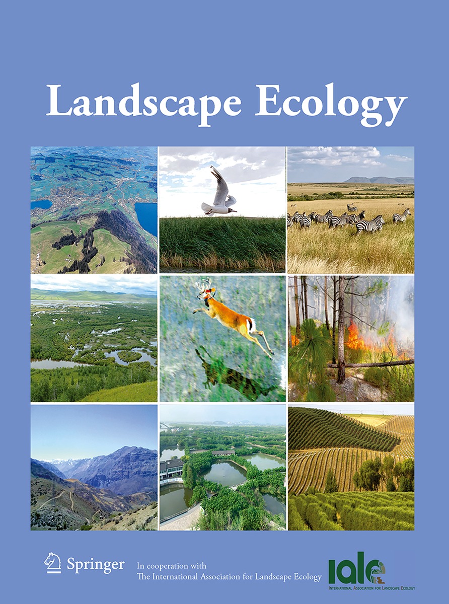
The interplay of landscape connectivity, composition and configuration in alien plant invasions across an ecological network
Open DOI ↗
Rarefaction profiles for repeated biodiversity surveys: integrating temporal variability and trend along sample-based accumulation curves
Open DOI ↗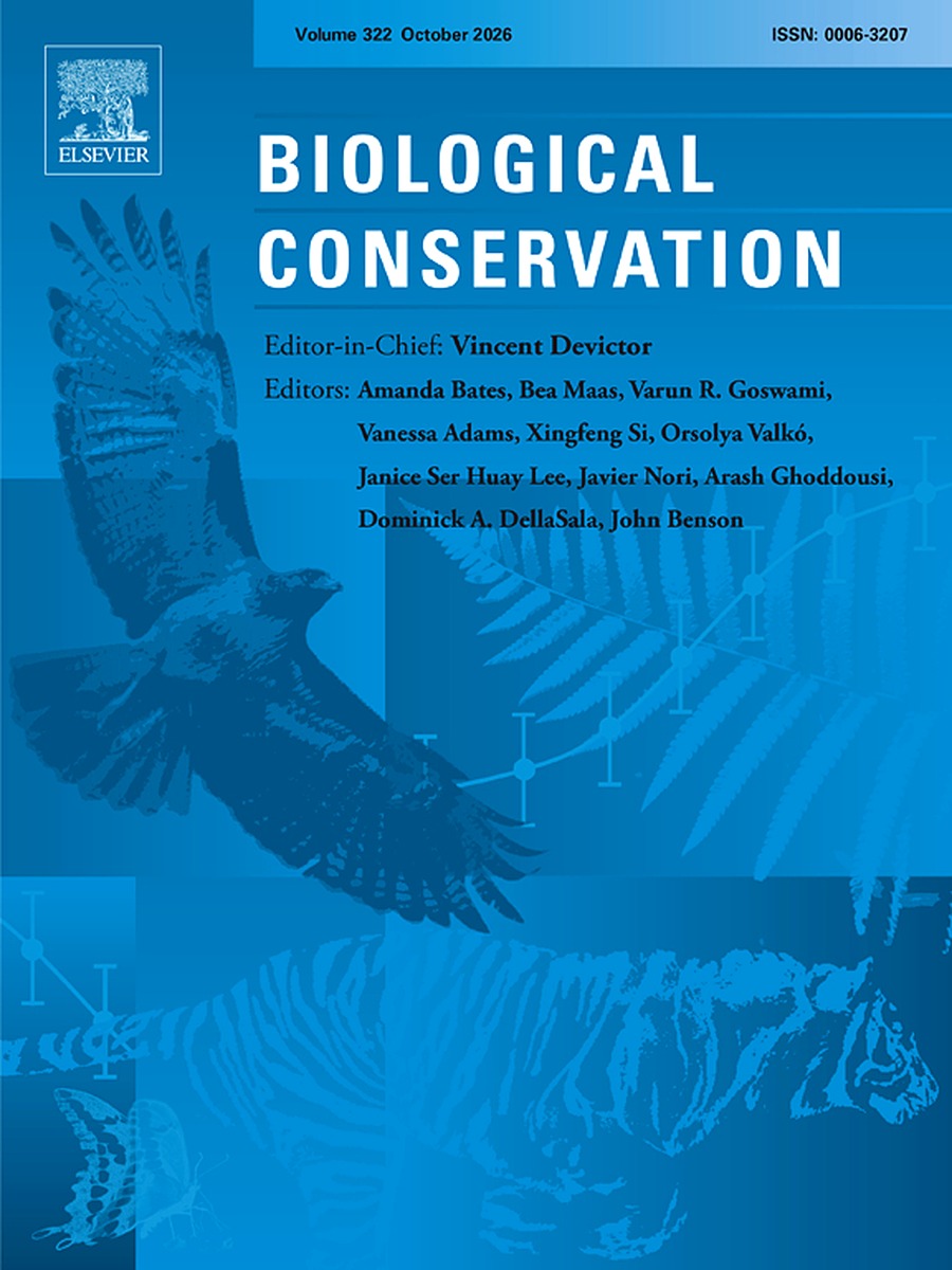
Wetlands lead, but all ecosystems matter: quantifying conservation priorities for plant communities in agricultural landscapes
Open DOI ↗Science in public.
Citizen science, public engagement and student-led communication are part of how we connect ecological knowledge with society.
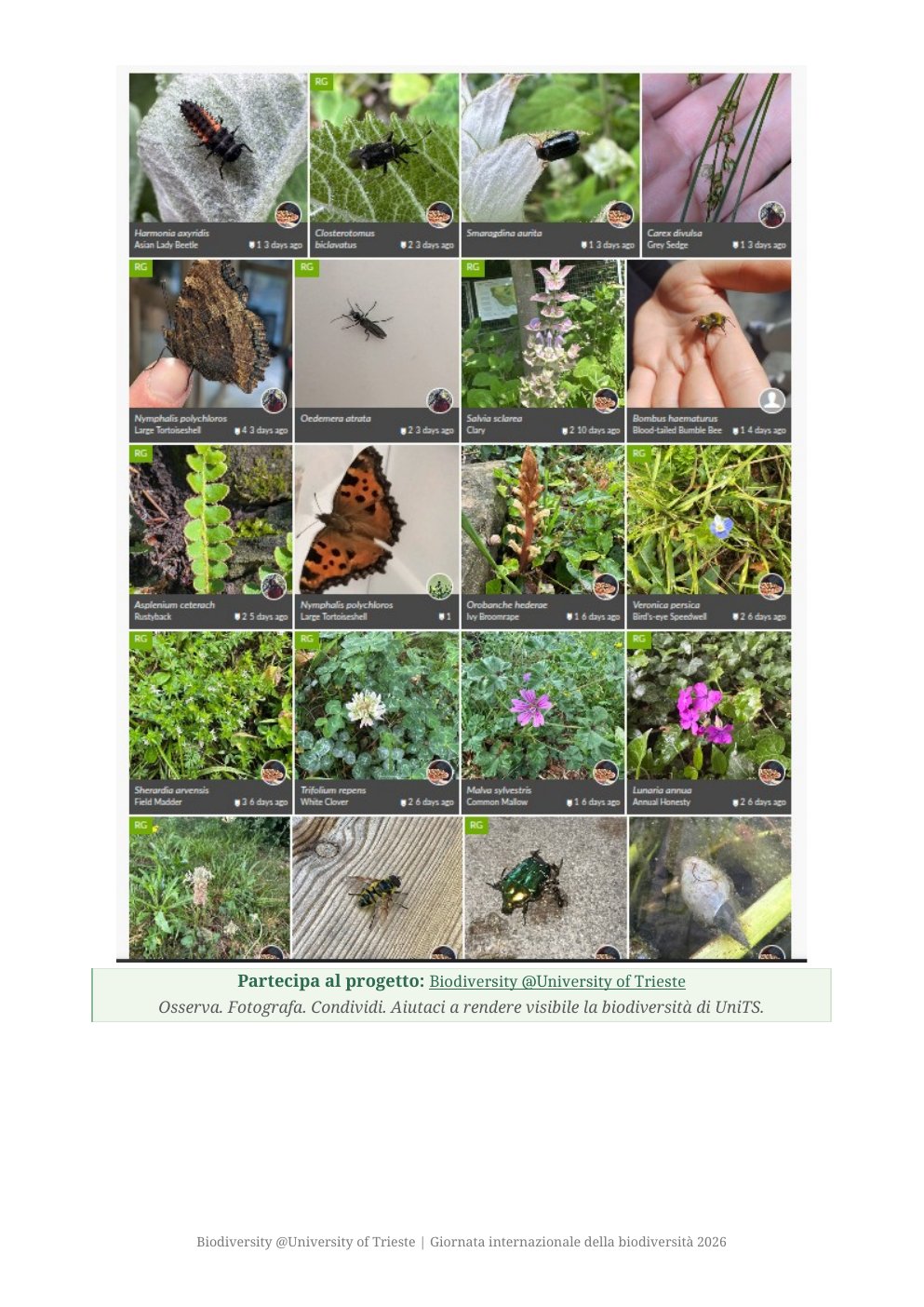
Biodiversity @University of Trieste
A participatory iNaturalist project that turns the University of Trieste campus and its surroundings into a distributed laboratory for biodiversity observation, open data and environmental awareness.
Explore ↗gECO Podcast
A student-produced podcast on ecology and sustainability, developed within the MSc in Global Change Ecology and Sustainability with scientific supervision and academic coordination.
Explore ↗Research in motion.
European programmes, international collaborations and independent research connect our methods to real ecological and societal questions — from urban forests and coastal systems to ecological networks and sacred landscapes.
 Active
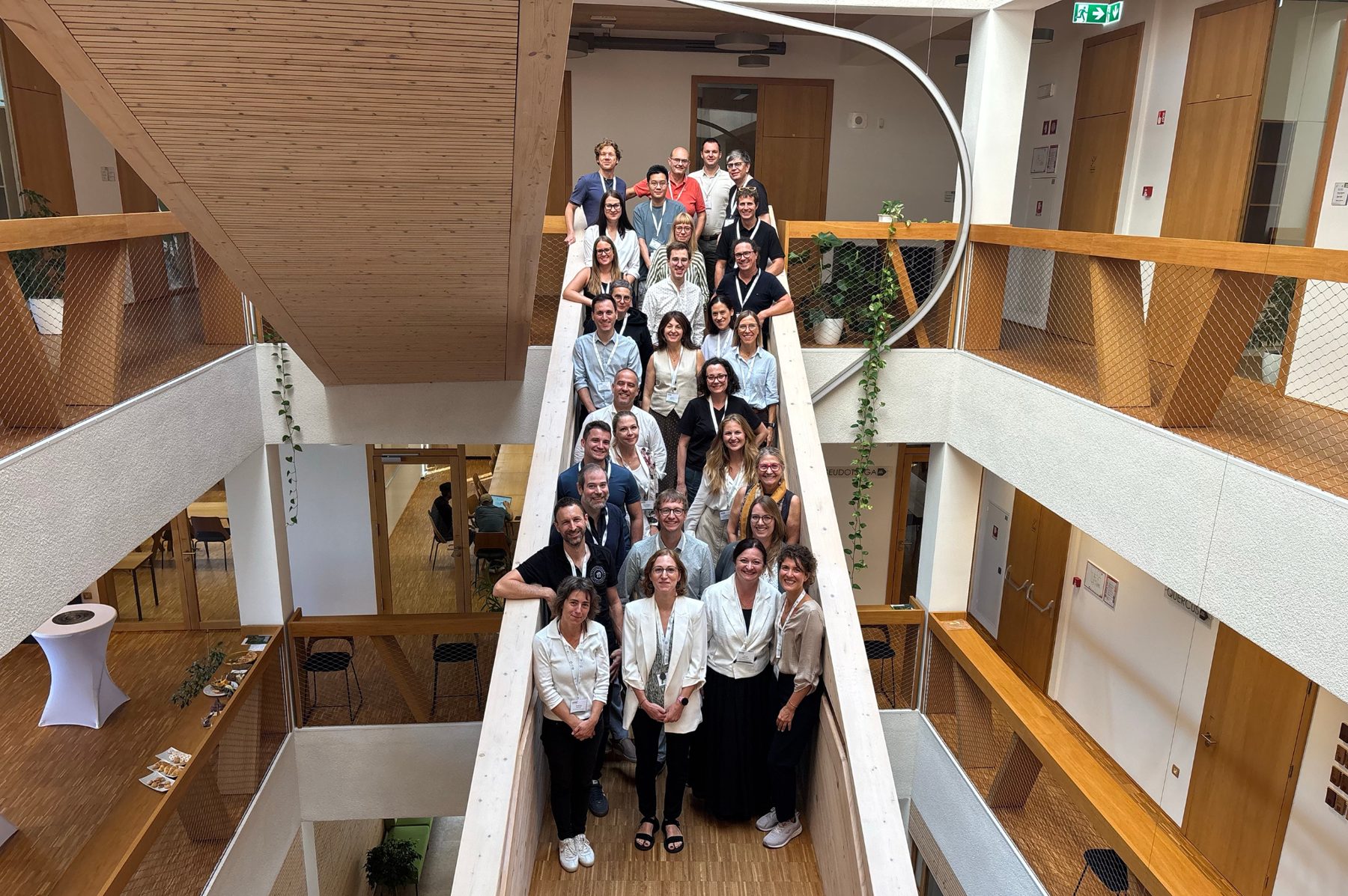
WISE
A four-year European project using urban sustainability as a test-bed for research excellence, innovation, institutional development and stronger links between universities and territories.
 Completed
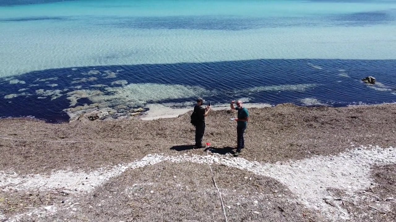
WASTEREDUCE
Cross-border environmental research and management involving protected and coastal ecosystems in Italy and Croatia.
Across scales, places and methods.
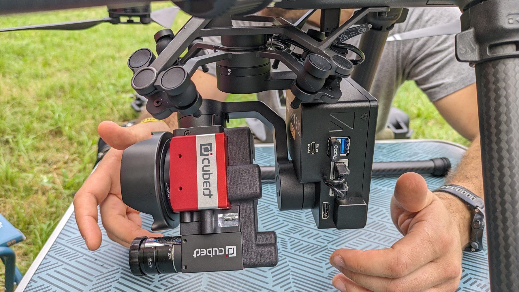
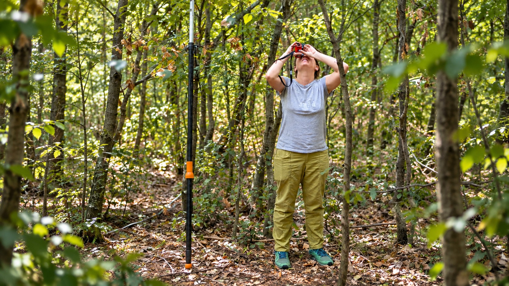
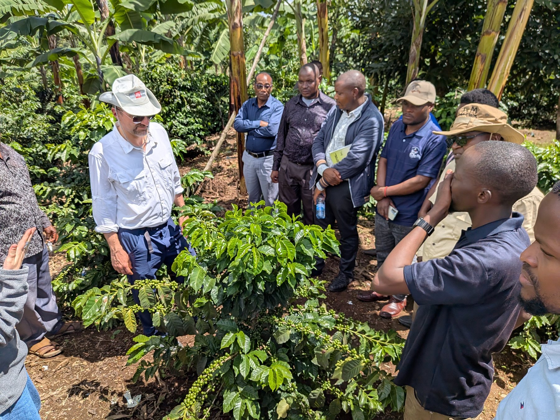
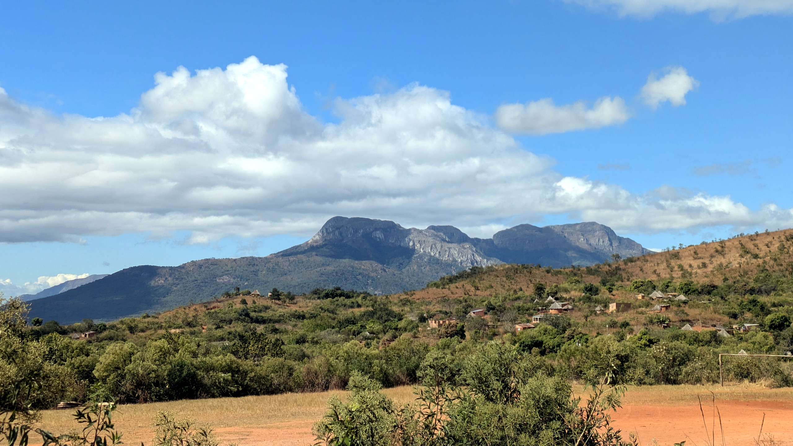
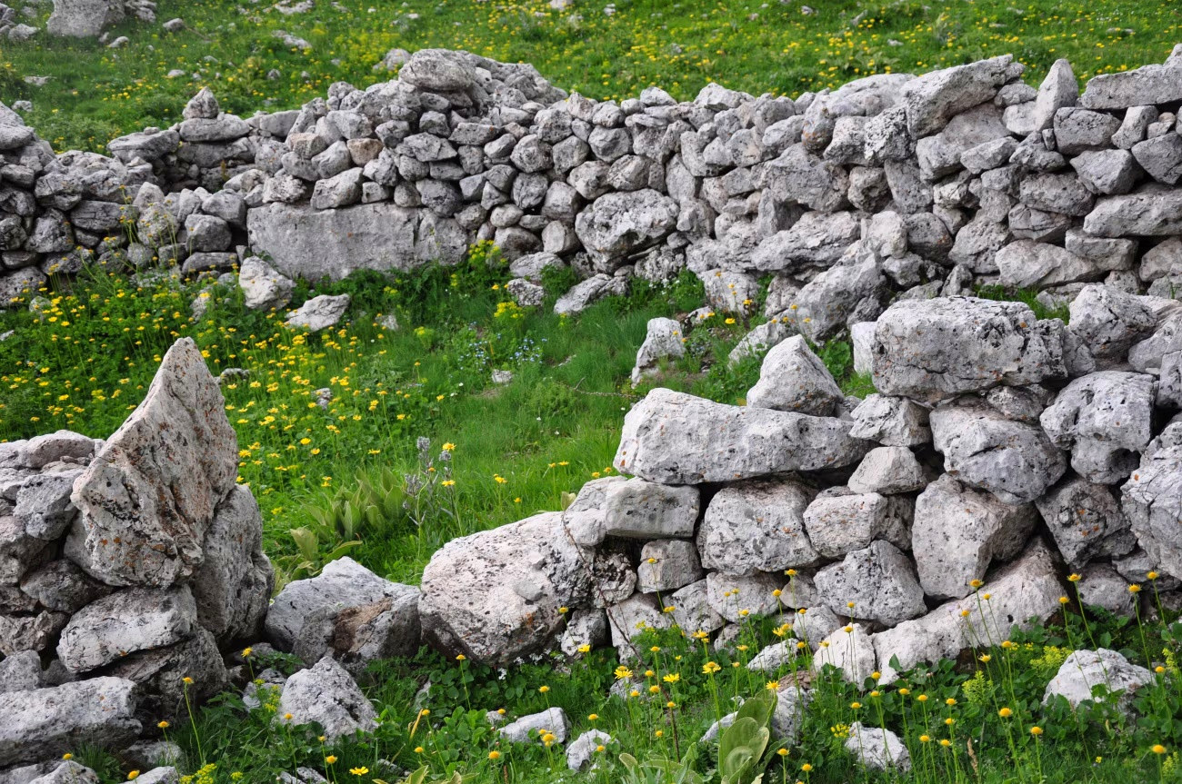
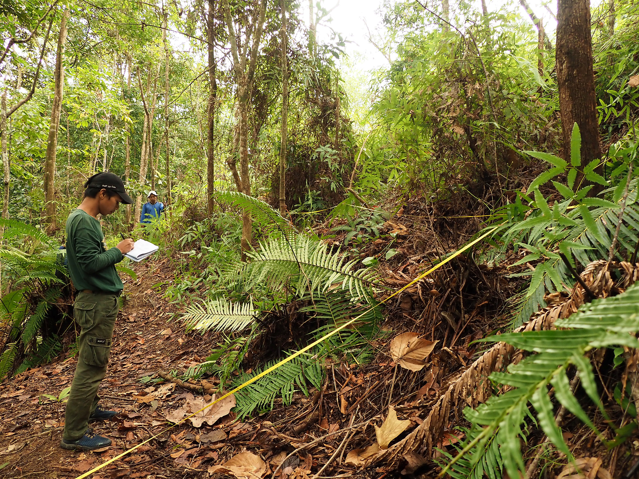
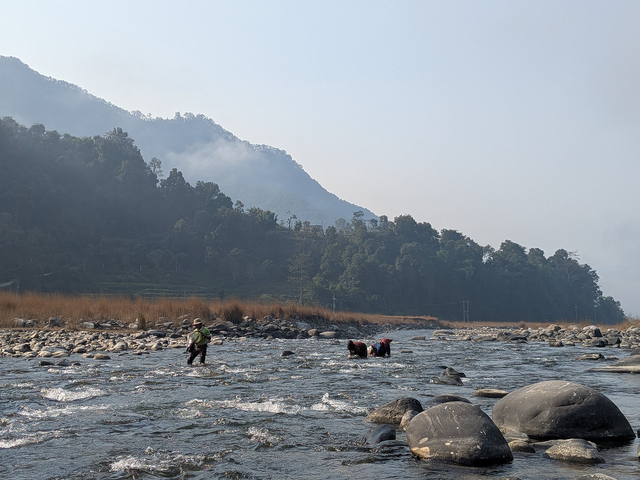
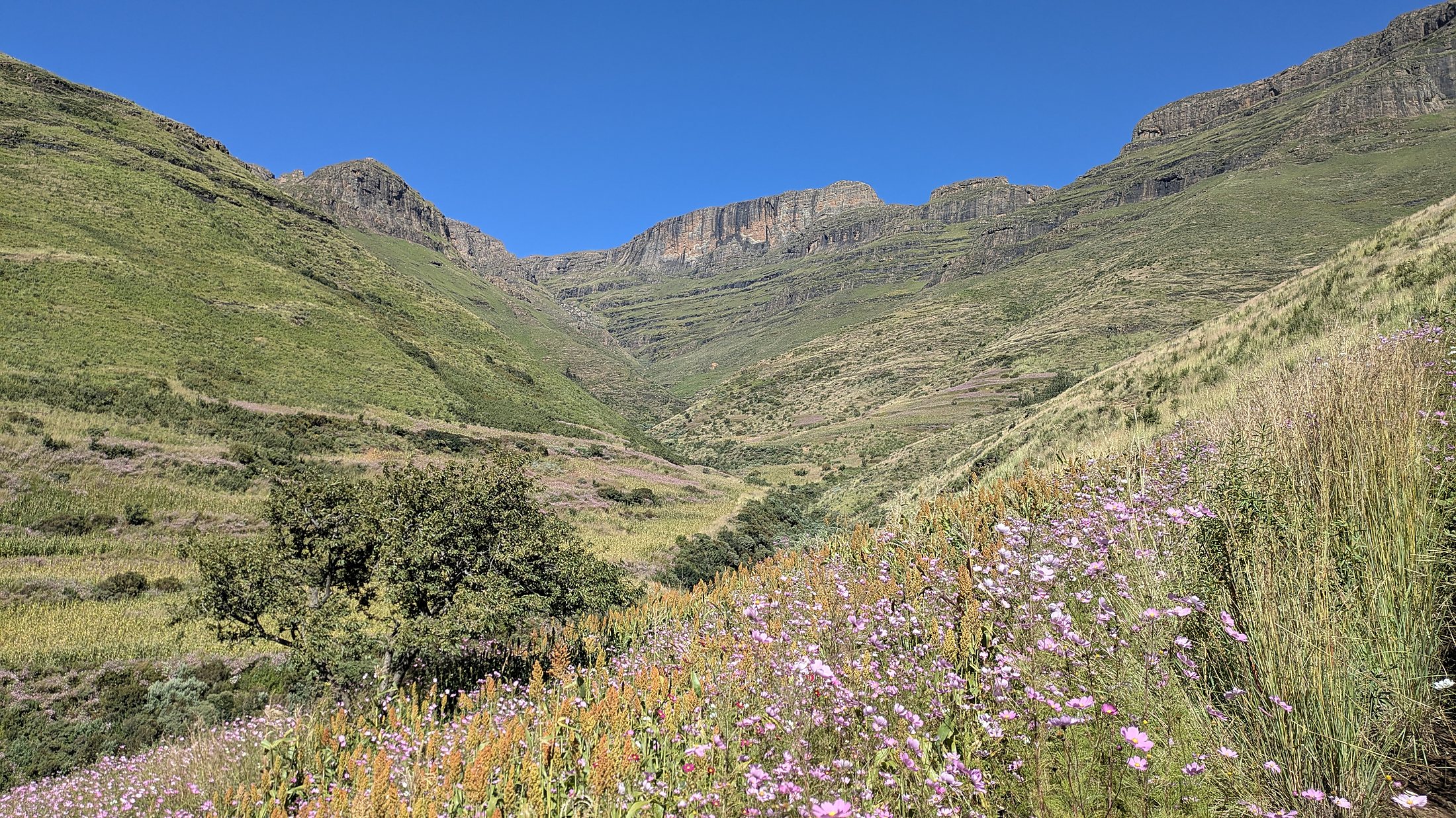
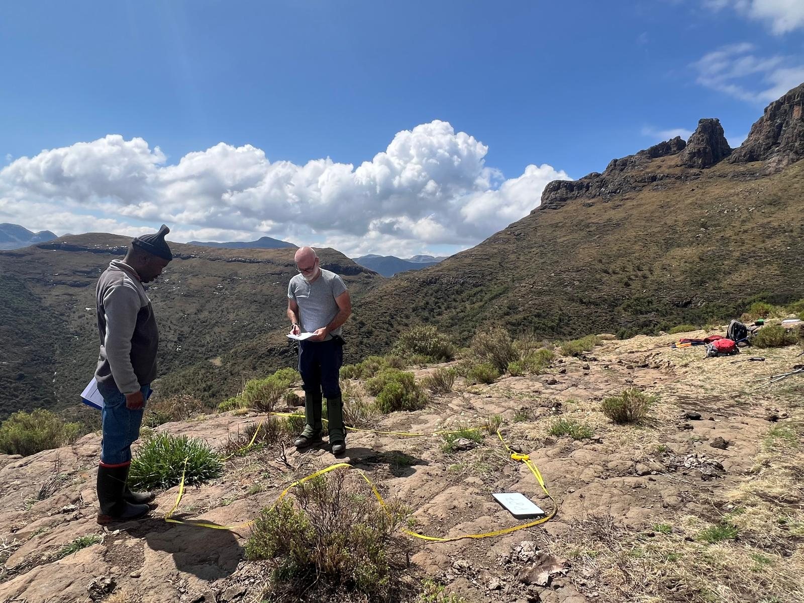
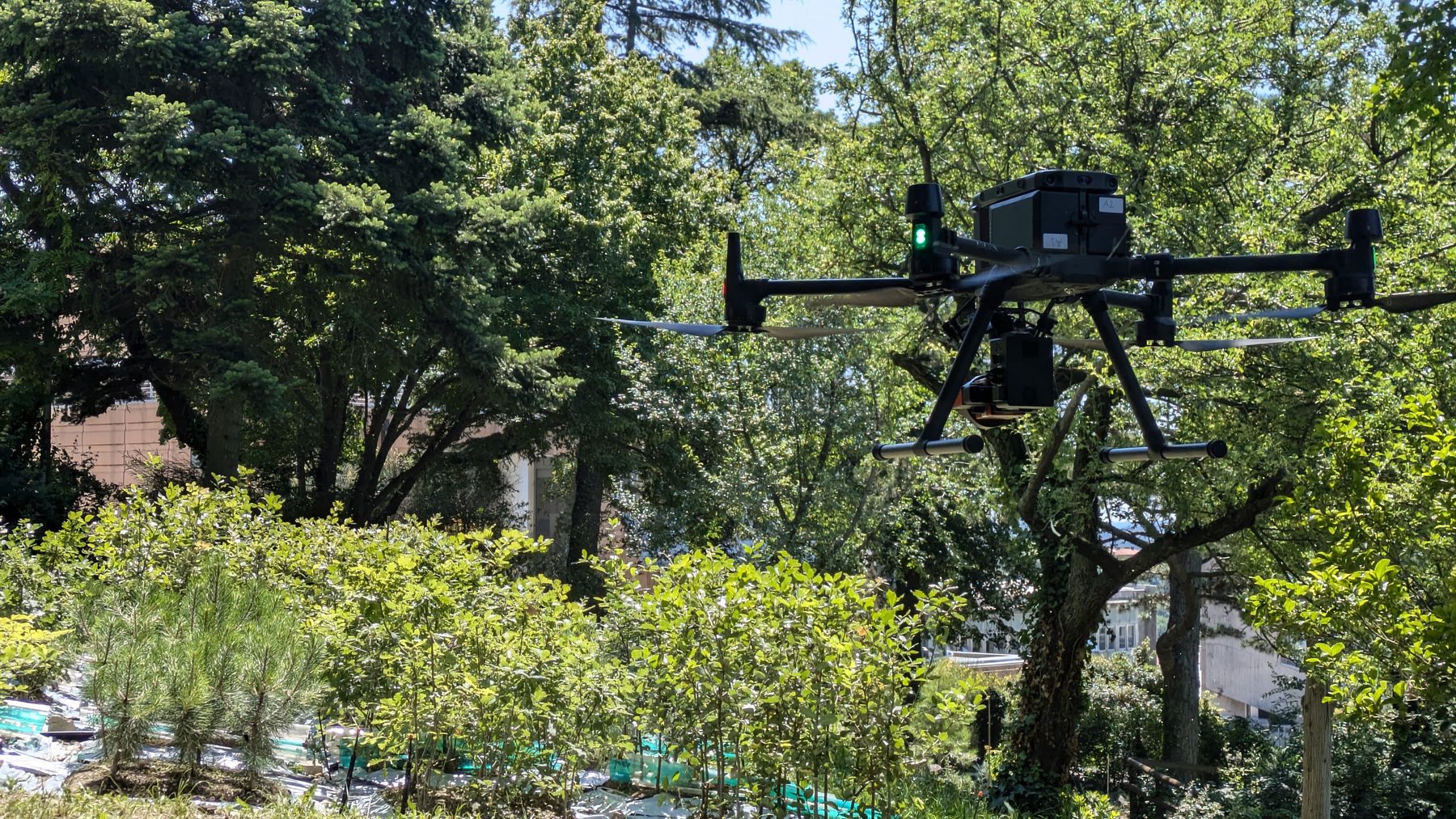
Field ecology, sensors, European projects and public engagement — a continuously growing visual record of the lab.
Have a landscape, dataset or question?
We collaborate with research groups, public bodies and project partners on biodiversity, environmental monitoring and spatial analysis.
Start a conversation ↗