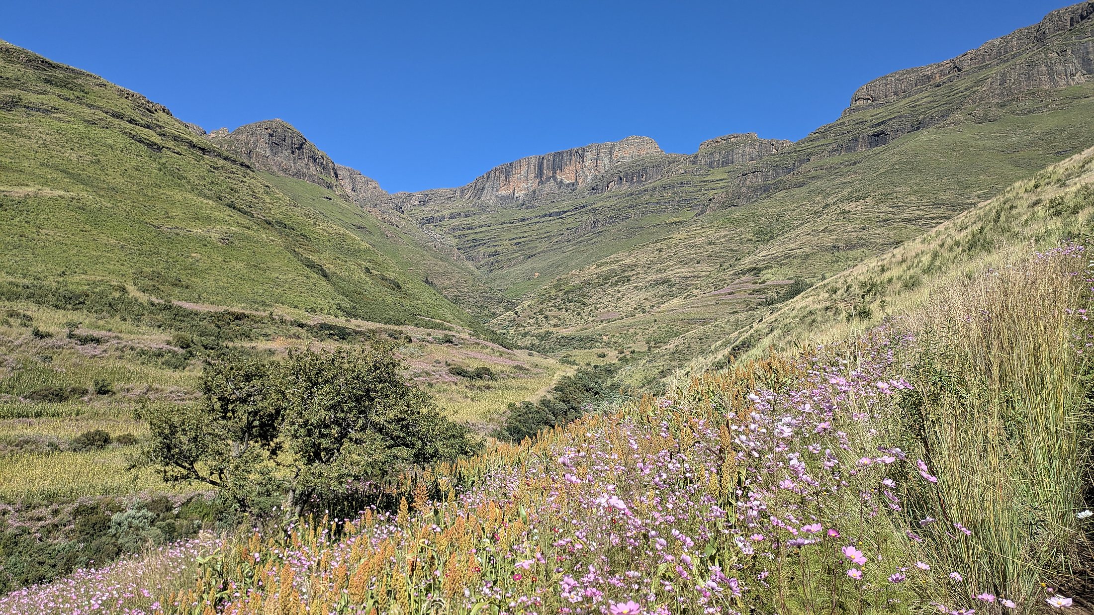
Lesotho
Highlands.
Plant diversity, satellite-based habitat mapping and ground-validated wetland assessment for a hydropower environmental study.
Explore the field archive ↓Highland habitats, environmental decisions.
Between April and December 2025, Giovanni Bacaro worked as Plant Diversity Expert within an international team on an environmental consultancy undertaken with ELC Electroconsult for a hydropower development in the Lesotho Highlands.
The assignment covered the preliminary environmental study and the plant-diversity components of environmental impact assessment, combining field data, analysis of potential impacts and mitigation measures, and high-resolution satellite-based habitat classification.
Project-specific location, infrastructure details and confidential technical results are not disclosed.
Collaboration with ELC ↗From satellites to field evidence.
Integrating botanical expertise, fine-resolution environmental information and ground observations within an international impact-assessment team.
Preliminary environmental study
Plant-diversity expertise during the initial environmental assessment and characterization of the highland landscape.
Plant-diversity surveys
Field data collection and ecological interpretation for vegetation and habitat assessment.
High-resolution satellite mapping
Habitat classification from high-resolution satellite imagery to support spatial environmental assessment.
Wetland distribution
Mapping the distribution of wetland habitats within the broad Lesotho Highlands study context.
Ground validation
Validation of remotely sensed habitat and wetland classifications using observations collected in the field.
Impact & mitigation assessment
Analysis of potential ecological impacts and technical input to mitigation measures.
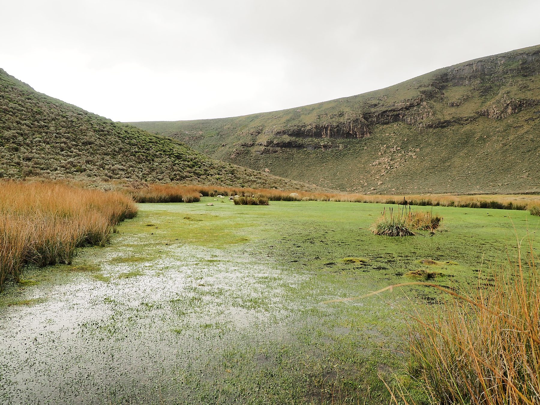
Maps tested on the ground.
High-resolution satellite imagery was used to classify habitats and investigate wetland distribution. Field observations were then used to validate the resulting habitat and wetland maps.
This combination of remote sensing and botanical fieldwork supported the plant-diversity component of environmental impact assessment while keeping project-specific maps and survey locations confidential.
Landscapes of the Highlands.
Browse the 2025 photographic archive: highland grasslands, wetlands, flora and field observations. Select a thumbnail or use the arrows.
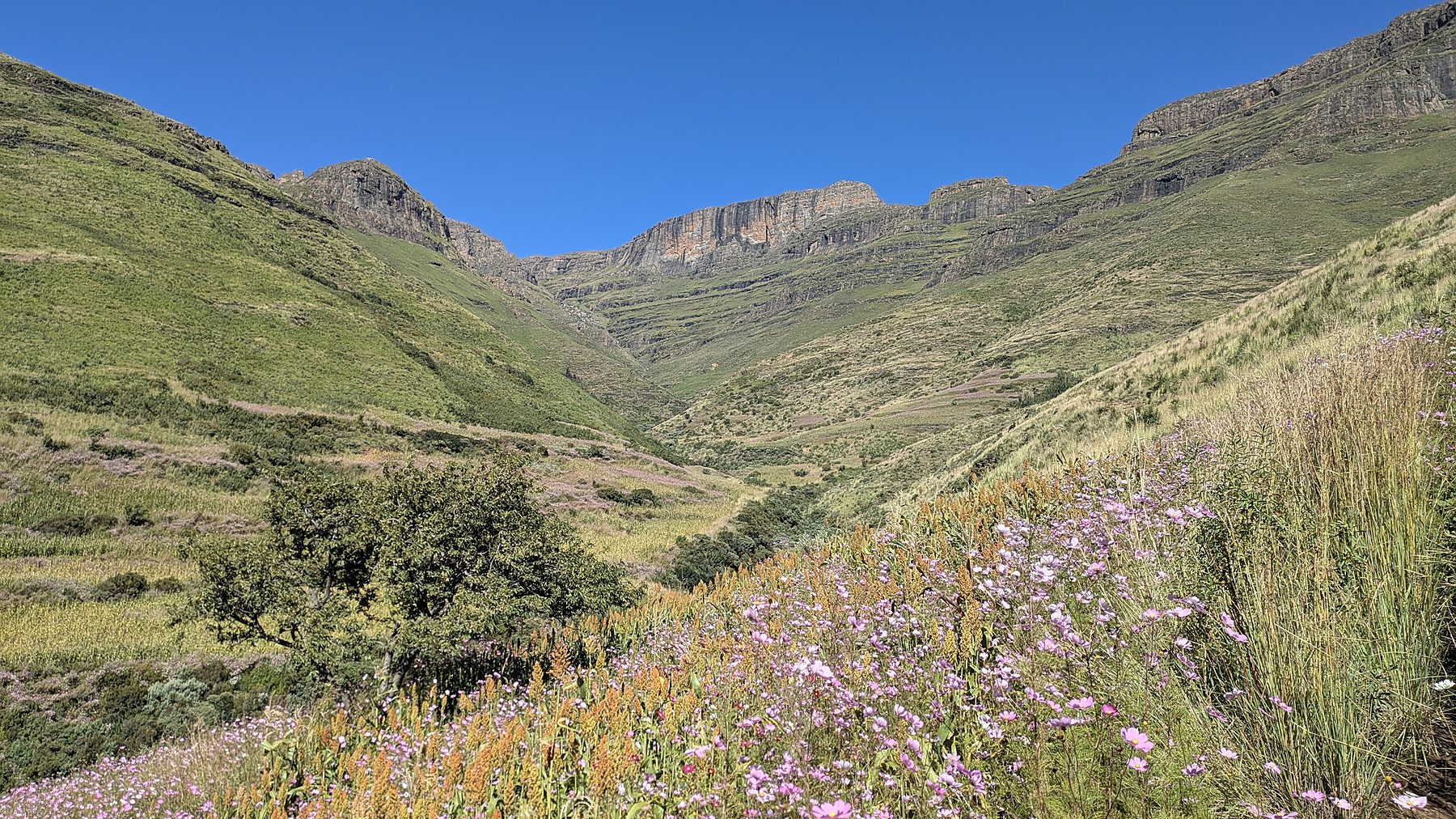
Scientific expertise beyond academia.
The Lesotho consultancy illustrates how plant-diversity expertise, high-resolution Earth observation and ground validation can be integrated within international environmental assessment. It complements the laboratory’s longer-term forest and biodiversity consultancy in Nepal.
From wetland surveys to spectral mapping.
Anna Colussi’s ongoing 2025–2026 Master’s thesis in Global Change Ecology and Sustainability builds on the field-survey-based classification of Lesotho Highlands wetland habitats. Her research investigates spectral habitat characterisation and remote recognition, with future climate-scenario applications envisaged.
This is related academic research, not a stated contractual deliverable of the completed environmental consultancy.
Explore Anna Colussi’s thesis ↗