Protected areas & Natura 2000
Habitat mapping, ecological monitoring, vegetation structure and repeat surveys.
Research-grade environmental measurement and analysis for universities, public administrations, protected areas and project partners—from field surveys and UAV LiDAR to hyperspectral imaging, satellite monitoring and ecological modelling.
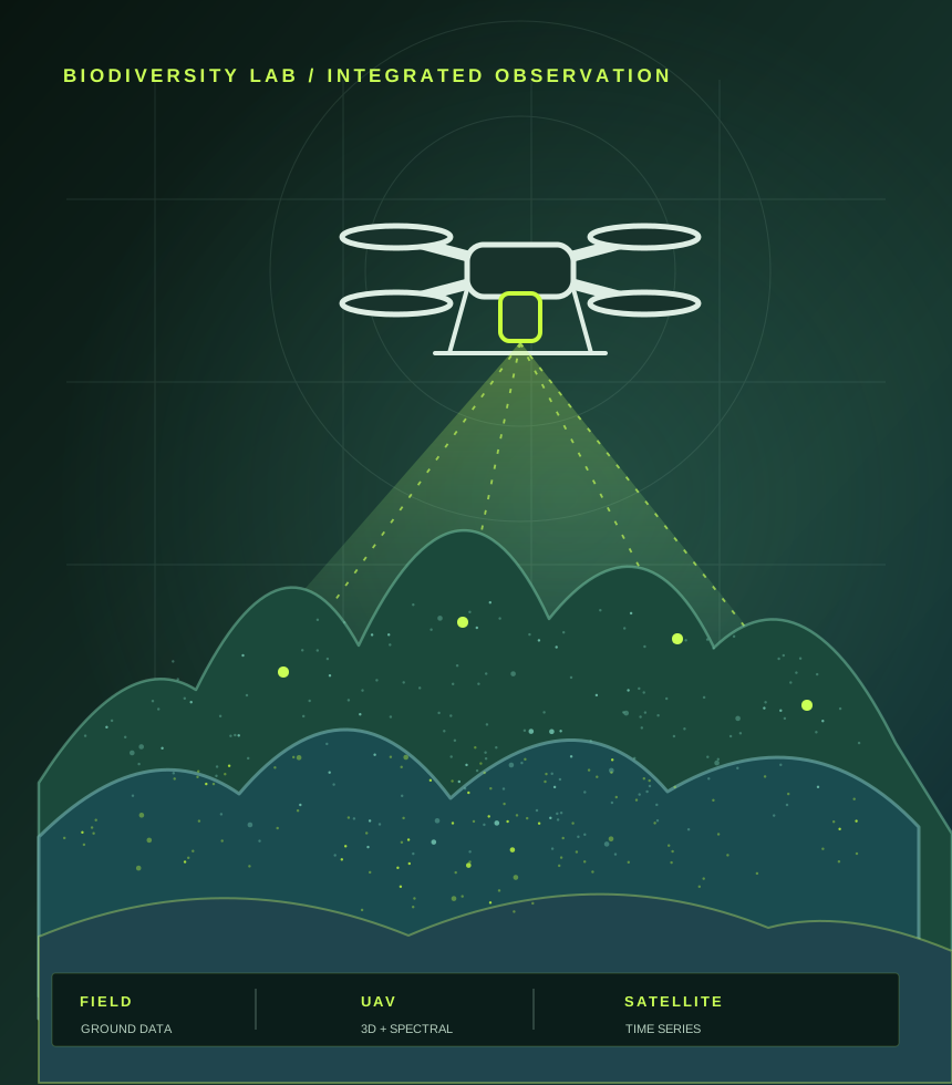
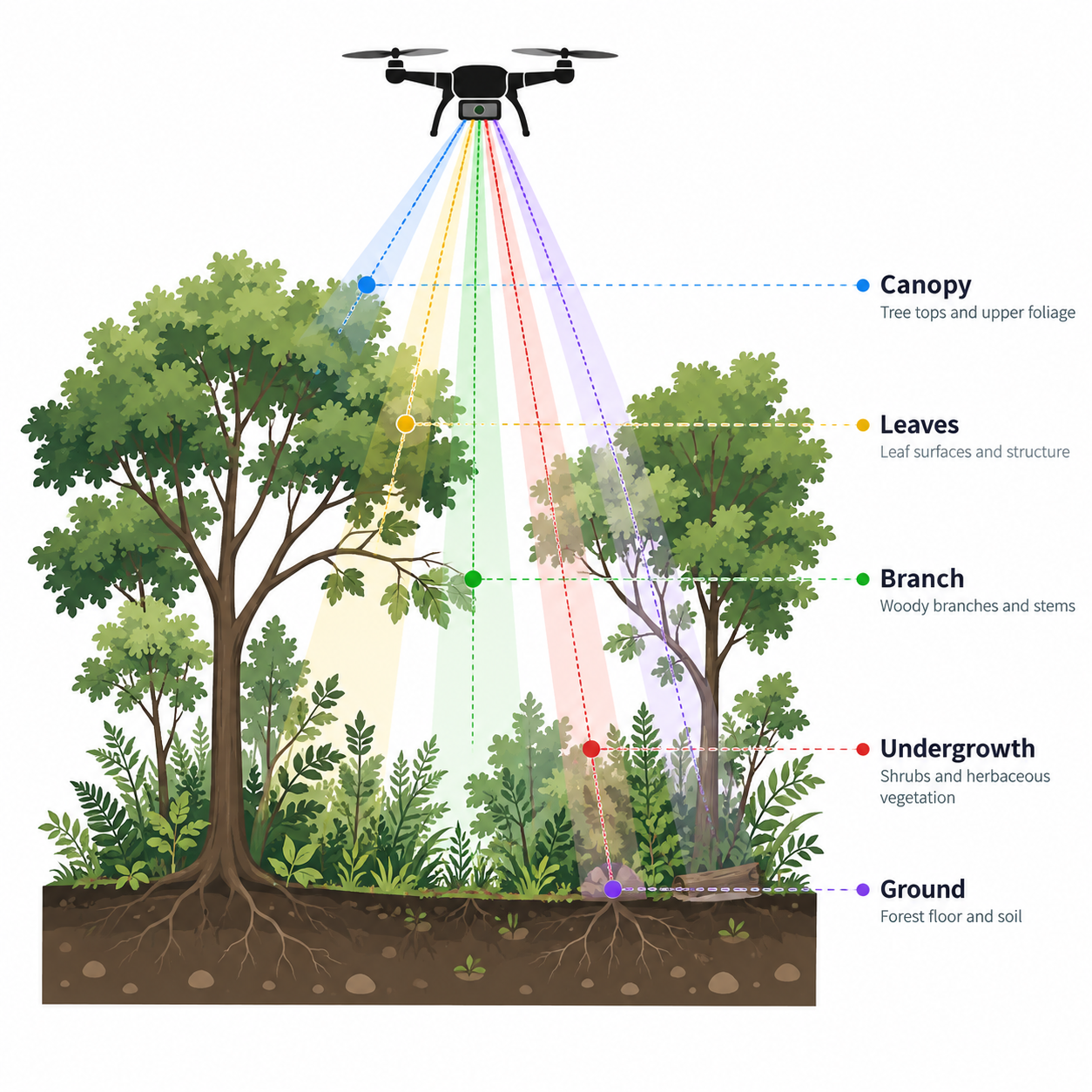
We combine ecological expertise, field measurements and spatial technologies. Services can cover the complete workflow or a specific technical component, depending on the question, study area and data already available.
High-resolution three-dimensional surveys of vegetation, terrain and complex environments, from mission design to ecological interpretation.
Spectral and thermal characterisation of vegetation and environmental surfaces for classification, monitoring and ecological assessment.
Multi-temporal Earth-observation analysis for land-cover dynamics, disturbance, vegetation recovery and environmental change.
Ecological survey design, floristic and vegetation sampling, functional-trait measurements and biodiversity monitoring.
Spatial and statistical models for habitat suitability, ecological connectivity, functional diversity and ecosystem-service assessment.
Spatial databases, thematic mapping and interactive tools that make environmental information accessible to partners and decision-makers.
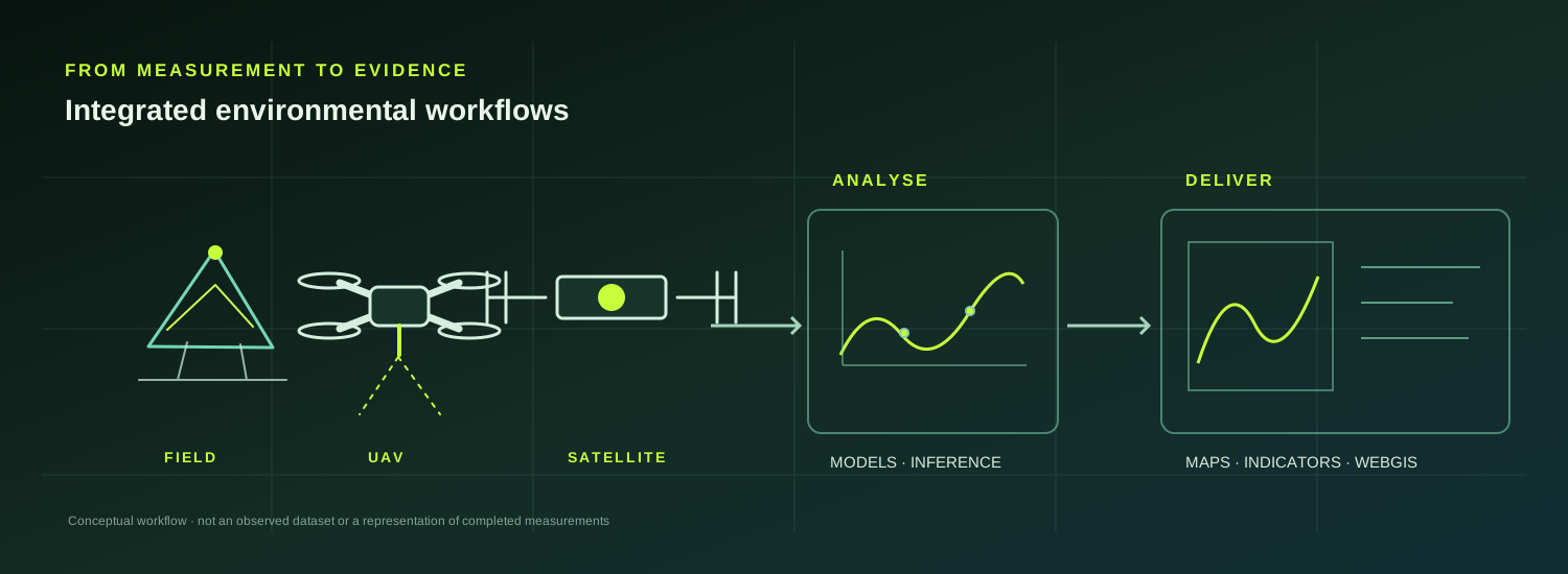
Our workflows are tailored to the ecological and management context rather than built around a single sensor or software package.
Habitat mapping, ecological monitoring, vegetation structure and repeat surveys.
Canopy structure, vertical complexity, gaps, biomass proxies and urban-tree assessment.
Morphology, vegetation dynamics, habitat condition and disturbance monitoring.
Ecological networks, green infrastructure, ecosystem services and spatial prioritisation.
Land-cover analysis, erosion vulnerability, habitat mosaics and vegetation monitoring.
Sampling design, statistical ecology, GIS, remote sensing and reproducible analytical workflows.
Our ongoing Lae Kumbhi assignment in Sumatra combines critical habitat assessment, a Biodiversity Action Plan, field-validated satellite land-use mapping and quantitative landscape connectivity to inform mitigation, afforestation and biodiversity-offset options.
Explore the Sumatra case study, ecological maps and field gallery ↗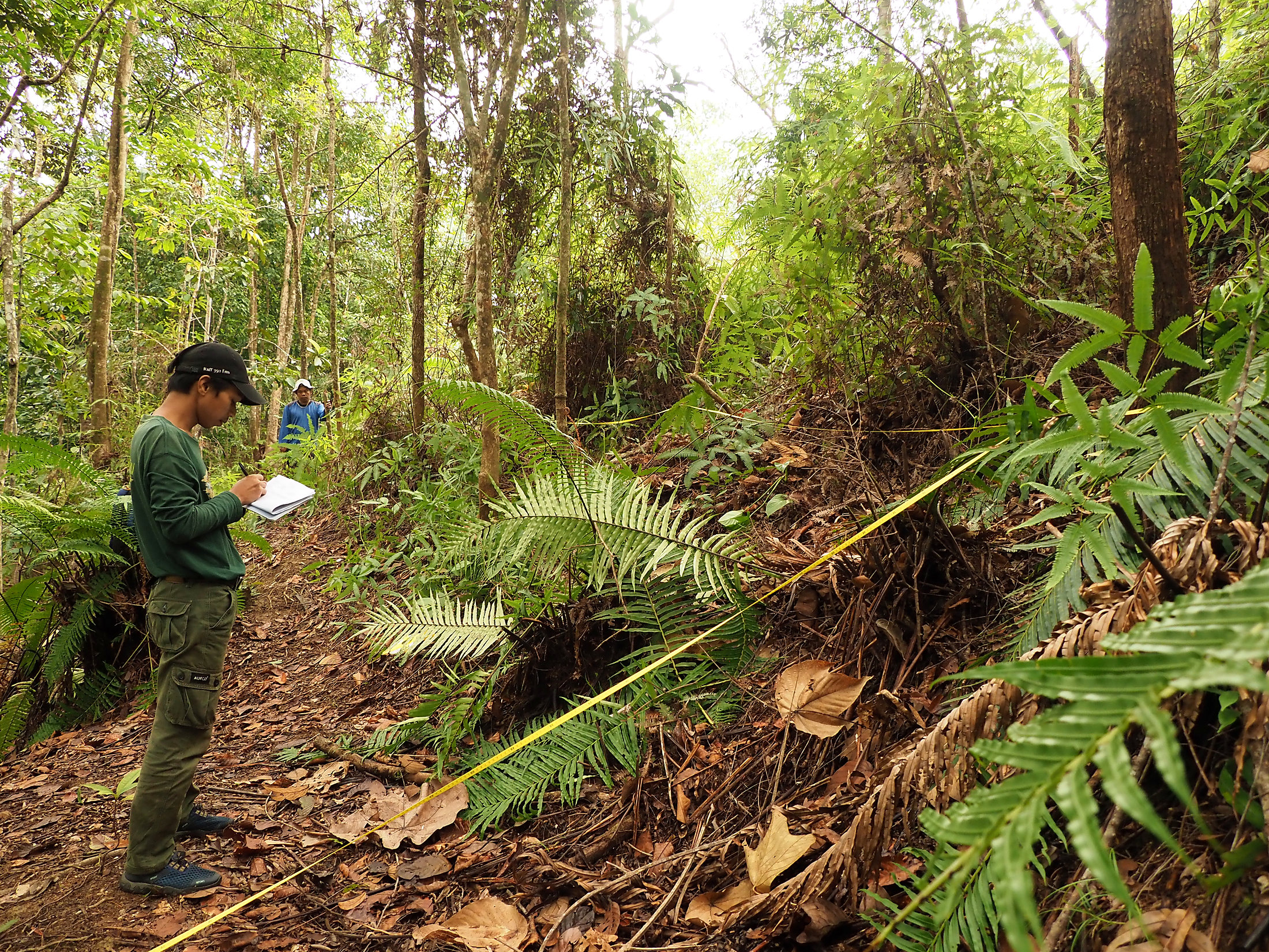
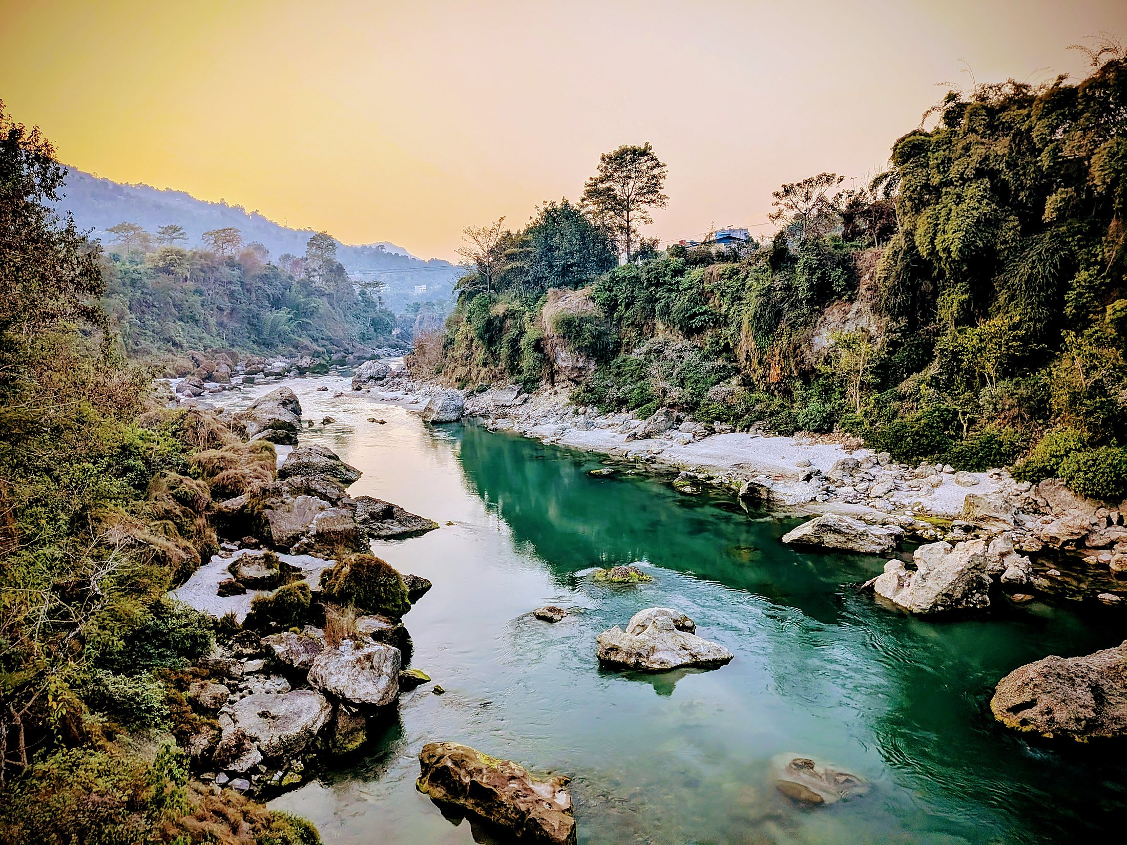
Since 2020, specialist consultancy for the Tanahu Hydropower Project in Nepal has brought together forest and watershed management, biodiversity expertise, technical planning and repeated international field missions.
Explore the Tanahu case study and field gallery ↗In 2025, our plant-diversity expertise supported a hydropower environmental assessment in the Lesotho Highlands. High-resolution satellite classification and botanical surveys were combined to map and validate wetland habitats, analyse potential impacts and support mitigation.
Explore the Lesotho consultancy and field gallery ↗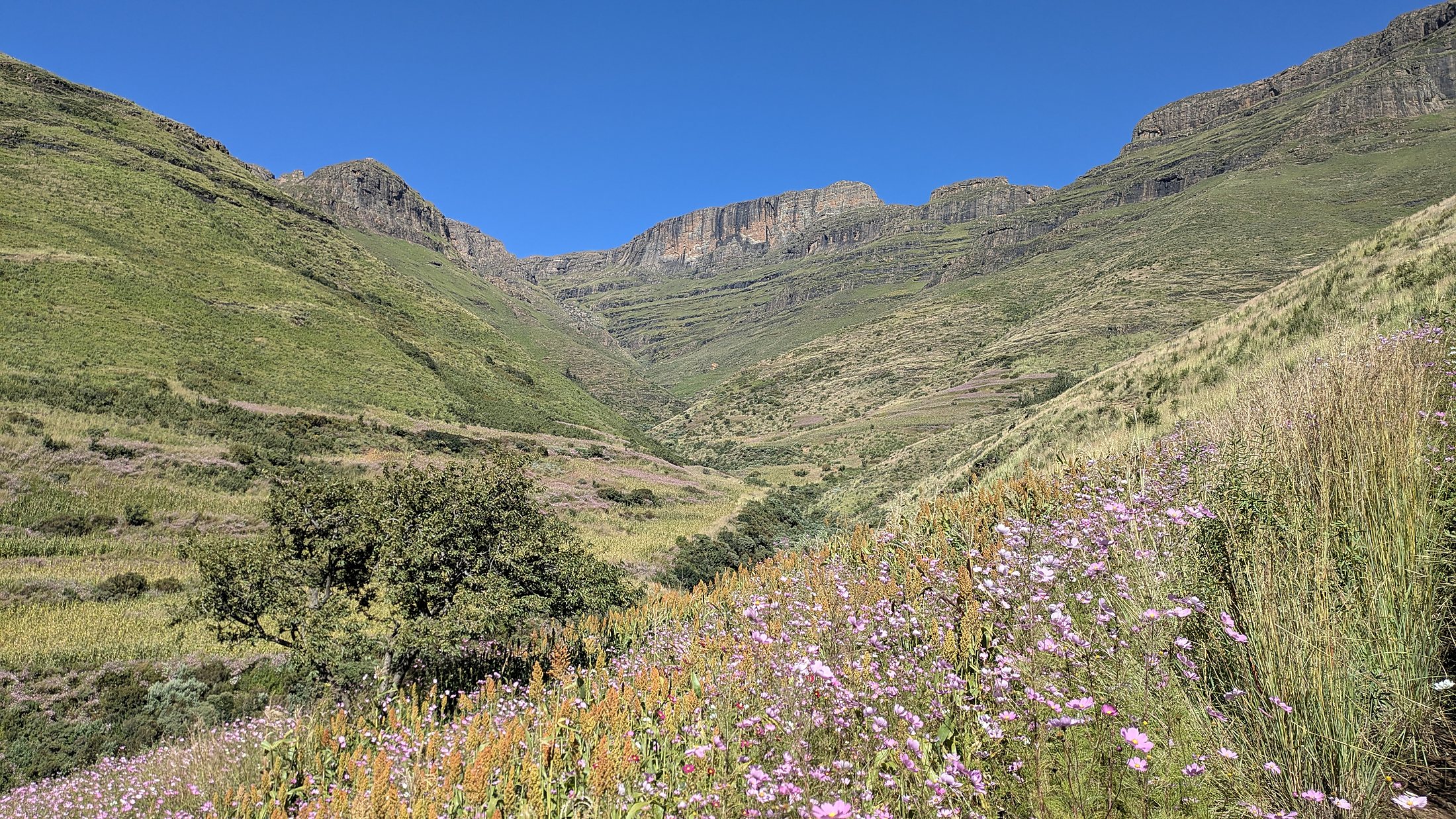
Selected projects show how field ecology, remote sensing and spatial analysis are combined in operational research settings.
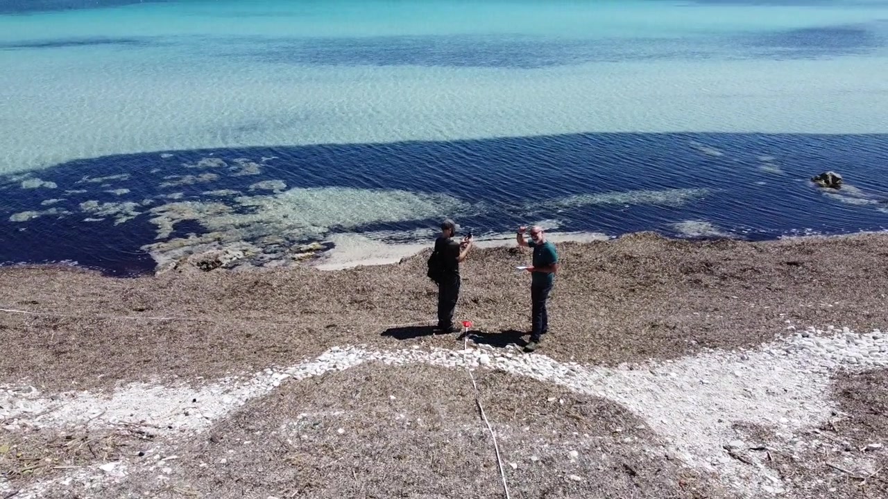
Integrated UAV, field and spatial workflows for environmental monitoring across protected and coastal ecosystems.
Explore project ↗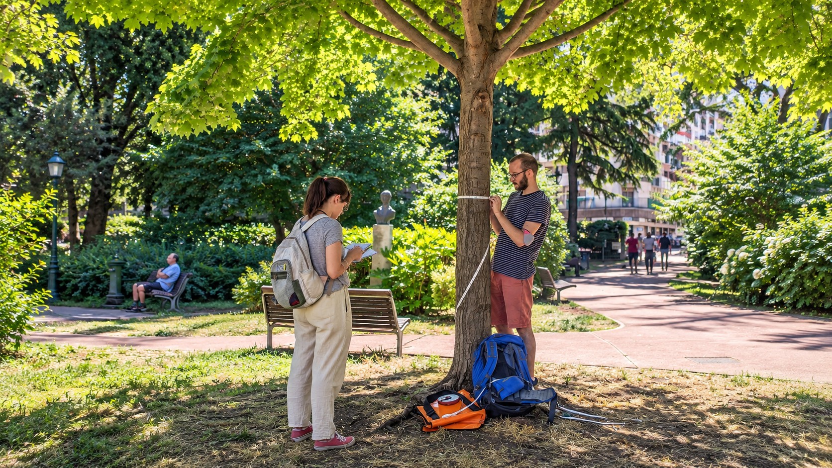
Connectivity and ecosystem-service analysis translated into evidence for urban environmental planning.
Explore project ↗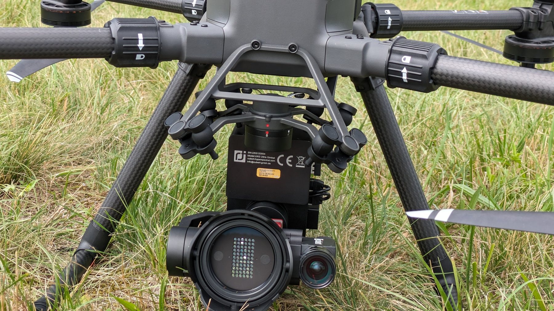
Spatial information and WebGIS-oriented outputs supporting hemp value-chain mapping and territorial analysis.
Explore project ↗Interactive maps and spatial dashboards can transform ecological models, monitoring data and territorial information into accessible products for partners, administrations and stakeholders.
Spatial products designed to connect territorial information, sustainable value chains and project communication.
Explore SPARE ↗Developed to communicate the environmental and cultural geography of a cross-border thematic itinerary. The historical application is archived and is no longer advertised as an active online service.
Explore NO WASTE ↗Interactive products are developed according to project requirements, data availability, hosting arrangements and long-term maintenance needs.
Hyperspectral and thermal measurements describe optical and physiological properties; LiDAR adds vegetation structure, terrain and three-dimensional habitat complexity. Together, they extend what can be measured beyond field plots alone.
Our newest UAV platform adds high-accuracy active 3D sensing to the lab, integrating LiDAR, high-resolution RGB mapping and RTK positioning for ecological and environmental surveys.
A long-range LiDAR payload designed for dense, geometrically accurate point clouds, with integrated high-resolution RGB mapping.
High-accuracy GNSS support for repeatable and spatially coherent UAV surveys, operating as base station, rover or relay depending on mission design.
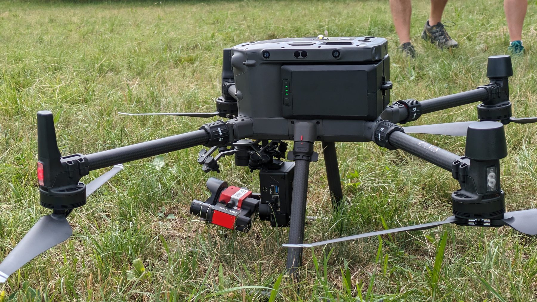
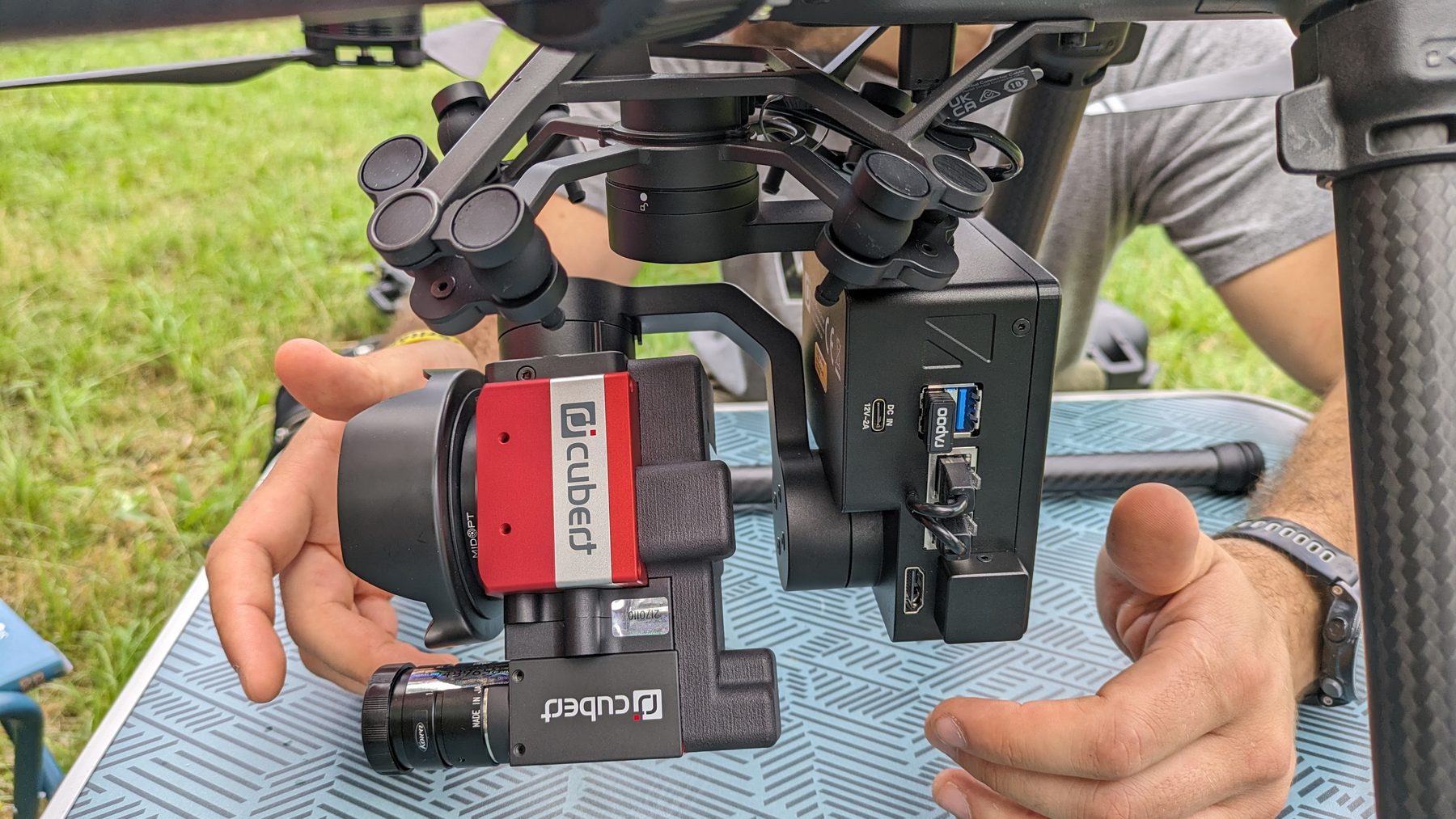
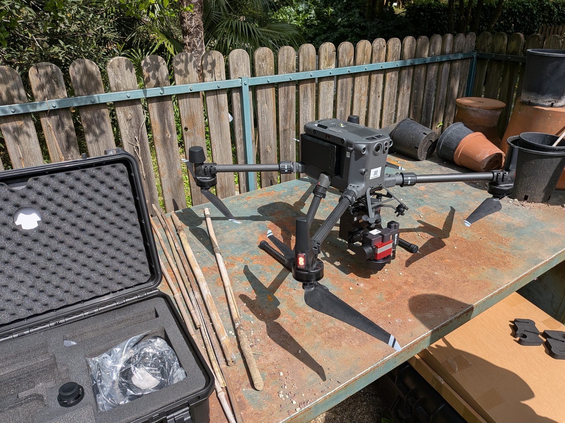
The lab’s established UAV platform for advanced optical remote sensing, integrating hyperspectral imaging, thermal sensing and photogrammetric workflows.
Our UAV activities are supported by European remote-pilot qualifications and dedicated operational training. Mission planning and execution are adapted to the regulatory framework, site constraints, payload and scientific objective.
EU remote-pilot competency for Open-category UAS operations.
Practical skill training completed for Standard Scenario STS-01 operations.
Crew Resource Management training for UAS operations.
Dedicated training in aeronautical communications for UAS pilots.
Tell us about the study area, the question you need to answer, the data already available and the outputs you need. We can evaluate the most appropriate combination of fieldwork, remote sensing, modelling and spatial products.
Discuss a service or collaboration ↗