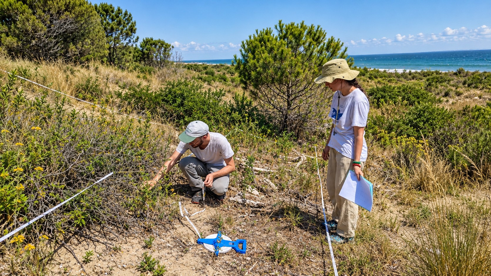
Researcher examining plants during a field vegetation survey
Biodiversity Lab / Research

Ecology beyond
the obvious.

From individual plants to landscapes, from field observations to Earth observation: we study how biodiversity is organised, how it changes and how ecological evidence can inform conservation.

Our perspective / 001

The right scale
changes the question.

Ecological patterns depend on where, when and how we observe them. Our research connects quantitative plant ecology with remote sensing and spatial analysis to understand biodiversity in a changing world.

We start from ecological questions, select the evidence needed to address them and bring together field measurements, experiments, models and geospatial data.

01 / Observe02 / Measure03 / Model04 / Apply
Research directions / 002

Six ways of
asking why.

These directions are interconnected, not disciplinary boundaries. Select one to explore the publications and methods behind it.

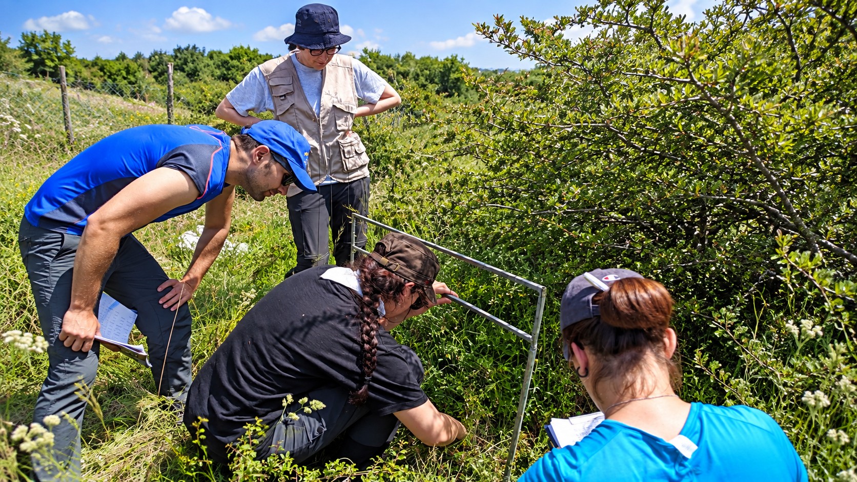
Researchers surveying vegetation in the field01 / 06
Patterns / Measurement

Reading biodiversity across scales.

How do communities change when we look closer, further or over longer periods?

We connect field surveys, diversity metrics, sampling theory and long-term observations to distinguish ecological signals from the effects of scale and sampling.

Community surveys · Rarefaction · Temporal analysisExplore
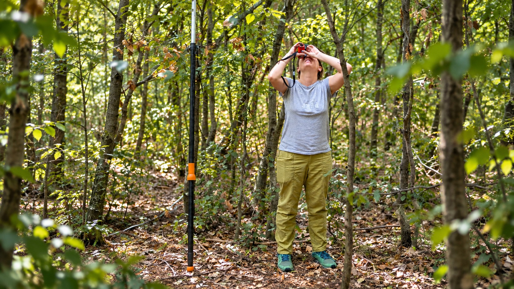
Ecological research beneath a forest canopy02 / 06
Form / Function

Understanding what plants do.

Which traits shape community responses to disturbance and environmental stress?

Functional diversity, plant ecophysiology and community composition reveal the mechanisms linking biodiversity to ecosystem response.

Plant traits · Functional metrics · EcophysiologyExplore
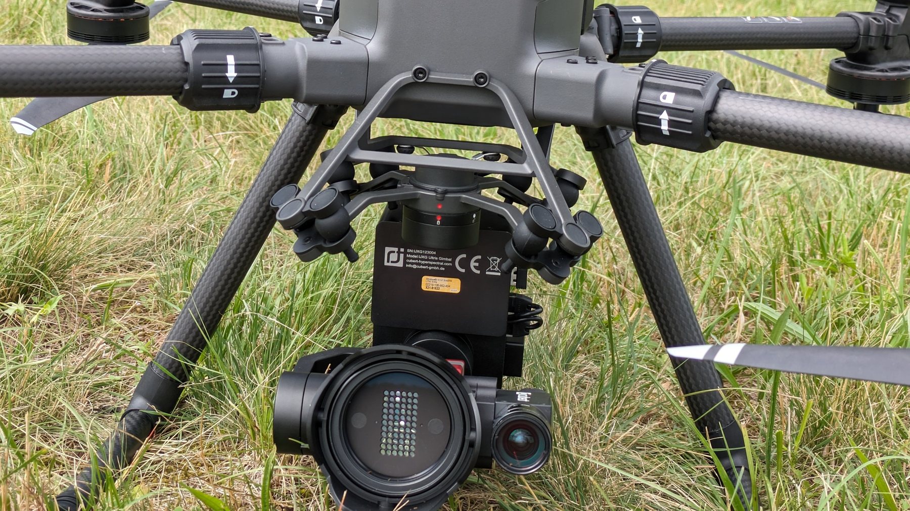
Hyperspectral sensor used for UAV-based vegetation research03 / 06
Observation / Technology

From pixels to ecological meaning.

Can spectral and structural information reveal habitats that are difficult to map from the ground?

Satellite imagery, UAV surveys, hyperspectral sensors, LiDAR and machine learning are combined with field evidence to map vegetation and habitats.

Earth observation · UAV · LiDAR · Machine learningExplore
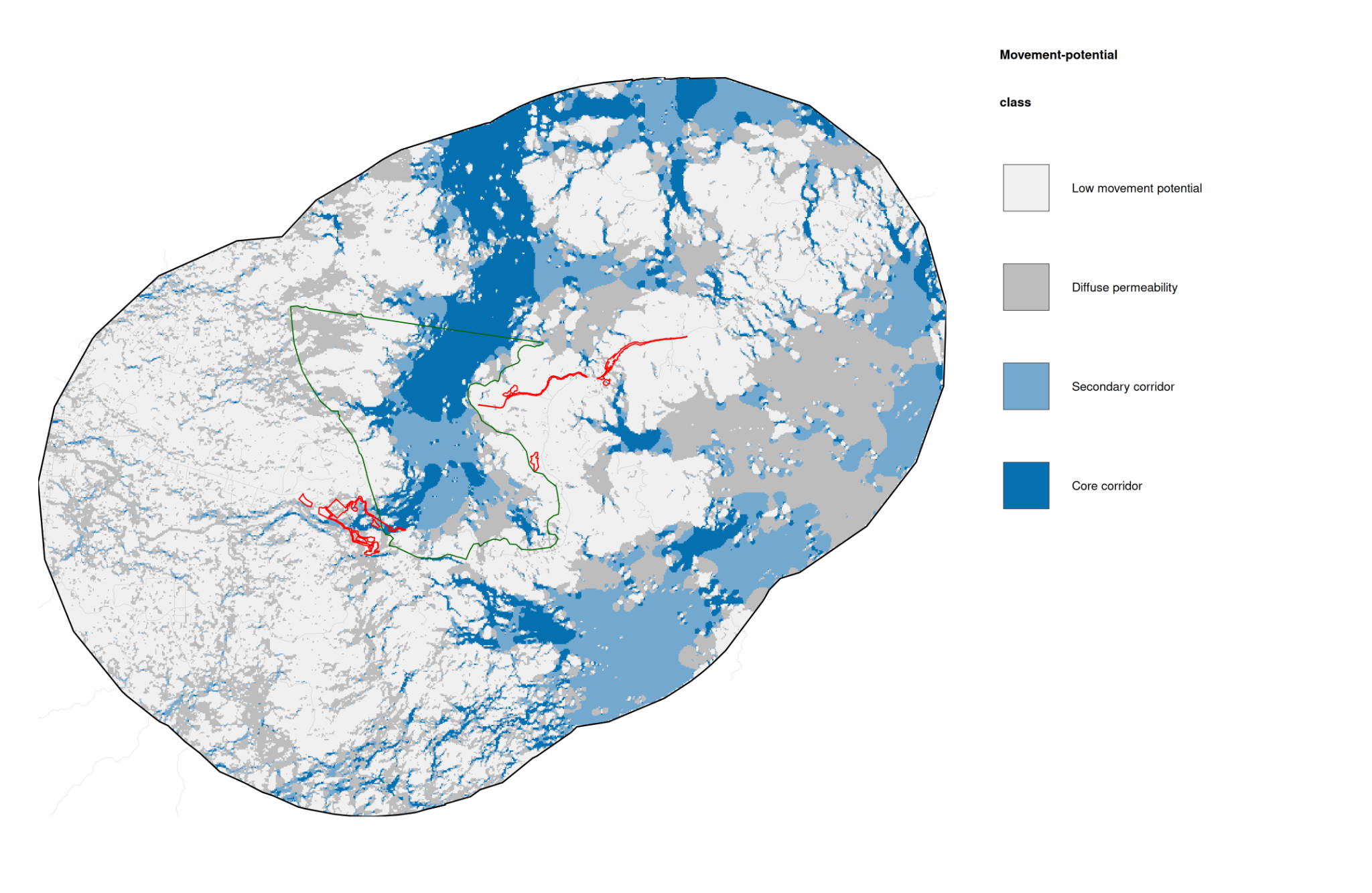
Research map illustrating ecological connectivity across a landscape04 / 06
Space / Connectivity

Looking beyond the plot.

How does landscape configuration affect ecological processes and movement?

We examine fragmentation, corridors, land-cover mosaics and infrastructure through spatially explicit modelling and multi-scale landscape analysis.

GIS · Landscape metrics · Connectivity modellingExplore
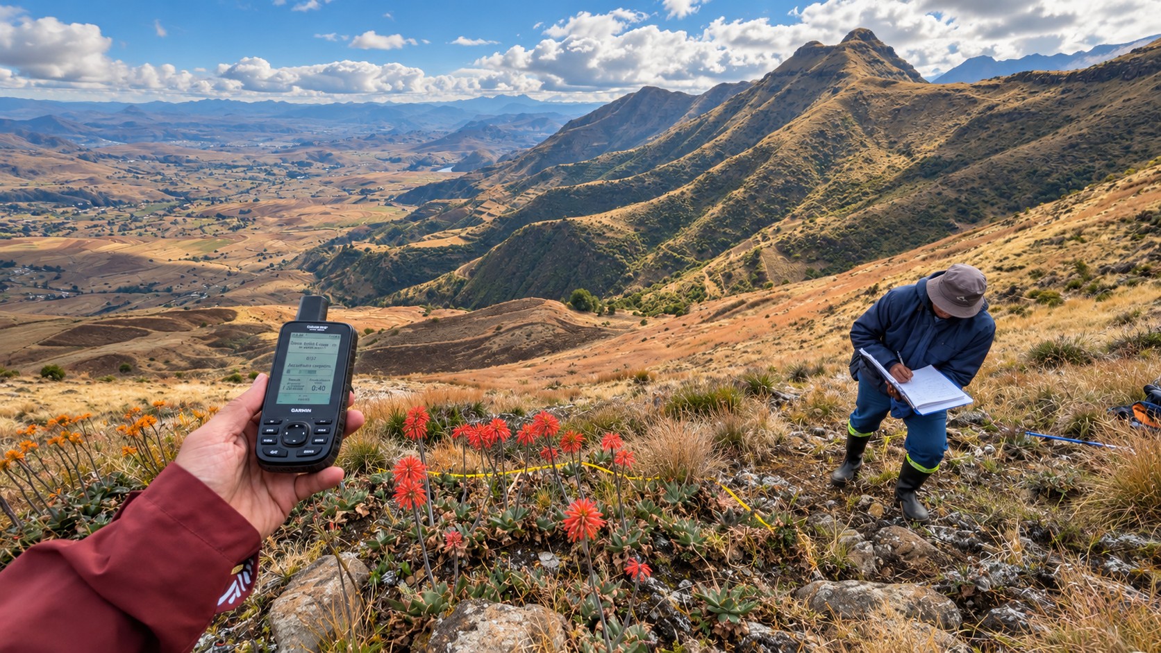
Mountain field research using a GPS instrument05 / 06
Time / Transformation

Following a changing planet.

What do climate extremes, wildfire, land-use change and invasions mean for ecological communities?

Long-term datasets and environmental models help us understand disturbance, recovery and changes in community composition and function.

Long-term experiments · Climate modelling · Disturbance ecologyExplore
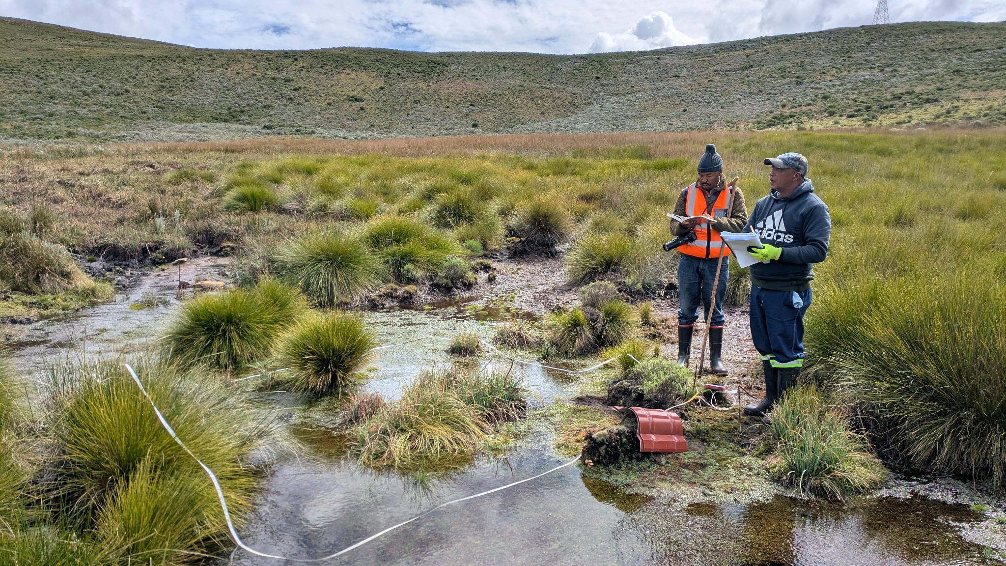
Colleagues recording ecological observations beside a grassland wetland06 / 06
Evidence / Action

Turning evidence into conservation.

Where should monitoring, restoration and biodiversity safeguards be concentrated?

We integrate community data, habitat assessment and spatial prioritisation in protected areas, agricultural landscapes and environmental impact assessment.

Conservation planning · Habitat monitoring · Spatial prioritisationExplore

+Across every direction: biodiversity measurement, reproducible inference, ecosystem services and socio-ecological applications.

Evidence in focus / 003

Questions made
measurable.

Three examples of how our research connects a scientific question to an explicit analytical approach and a published output.

Coastal dune vegetation investigated through remote sensing and field ecology
01 / HABITAT MAPPING

Decoding coastal dunes from above.

Multi-resolution convolutional neural networks are used to identify coastal dune habitats, connecting image analysis with vegetation science.

Sentinel / high-resolution imagery · CNNsRead the study Journal of Vegetation Science · 2026
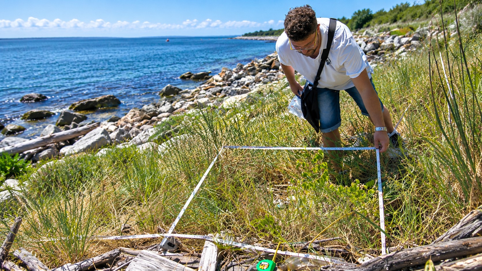
Vegetation quadrat survey illustrating repeated biodiversity sampling and accumulation
02 / MEASUREMENT

Where does biodiversity change emerge?

Rarefaction profiles for repeated surveys reveal how temporal variability and directional change shift from expected alpha diversity to sampled gamma diversity as sampling units are accumulated.

Repeated surveys · Rarefaction · Temporal profilesRead the study Ecological Informatics · 2026
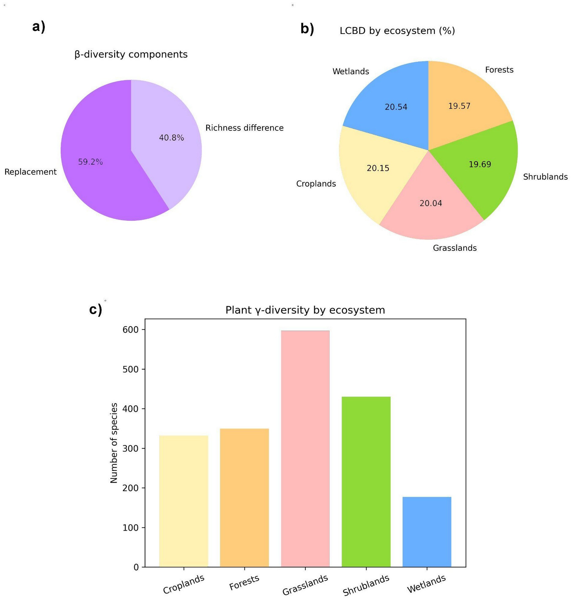
Published research figure comparing components of plant diversity across land-cover classes
03 / CONSERVATION

Conservation priorities across working landscapes.

A plant-community analysis examines how conservation value differs among ecosystems embedded within agricultural landscapes.

Plant communities · Conservation prioritisationRead the study Biological Conservation · 2026
Interactive research lens / 004

Follow the
evidence.

Choose an ecological question, ecosystem or method to discover connections in our scientific literature. This is a selective window into the research, not another publications catalogue.

01

Choose a research theme

02

Refine the context Optional

Curated literature index

205 matching records

Showing the three most recent mapped outputs. Select a theme to narrow the evidence.

205 topically classified records from the site catalogue and linked researcher bibliographies; the index includes a clearly identified preprint. Topical inclusion does not imply that every co-authored output originated in the present laboratory.

Keep exploring / 005

The research is connected.
The detail lives elsewhere.