Emilia Pafumi
Researcher

Emilia Pafumi

Department of Life Sciences · University of Trieste

Remote-sensing ecologist developing multi-scale approaches for habitat mapping, vegetation monitoring and biodiversity conservation, from field ground-truth data to satellite imagery, UAV products and deep-learning workflows.

Research focus
Remote sensingHabitat mappingCoastal dunesDeep learningSpectral diversityAgro-forest systems
Profiles & identifiers
Research profile

Research trajectory & current work.

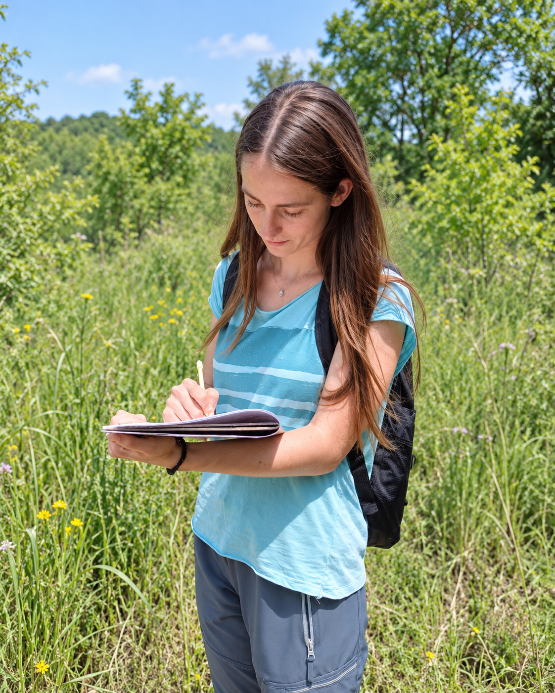
Emilia Pafumi works on the integration of field ecology and remote sensing for biodiversity assessment and habitat mapping. Her research combines vegetation surveys with multispectral satellite imagery, LiDAR, UAV products, spectral-diversity metrics and spatial modelling.

Her PhD at the University of Siena investigated plant-diversity patterns and conservation priorities in Italian coastal dunes and developed automated habitat-mapping workflows using crisp and fuzzy classifiers as well as convolutional neural networks across multiple image resolutions and platforms.

Since May 2026 she has been working at the University of Trieste on remote monitoring of agro-forest systems in Friuli Venezia Giulia, developing approaches for crop identification, sustainable-management recognition and vegetation-condition monitoring.

17Publication list · updated Sep 2026
2026PhD completed with honours
RS + AIRemote sensing and deep-learning focus
Academic & research trajectory

Selected milestones.

2019BSc · Environment and Nature

University of Trieste · plant structure and function.

2022MSc · Global Change Ecology

University of Trieste · remote sensing and habitat mapping in the Classical Karst.

2022Ecomosaico del Carso

University of Trieste · vegetation mapping, LiDAR and Sentinel-2 monitoring.

2023–26PhD · Life Sciences

University of Siena · coastal-dune biodiversity, conservation priorities and habitat mapping. Final evaluation: excellent with honours.

2025Research stay · Prague

Czech University of Life Sciences · advanced remote-sensing methods and image segmentation.

2026–presentResearcher · Biodiversity Lab

University of Trieste · remote monitoring of agro-forest systems in Friuli Venezia Giulia.

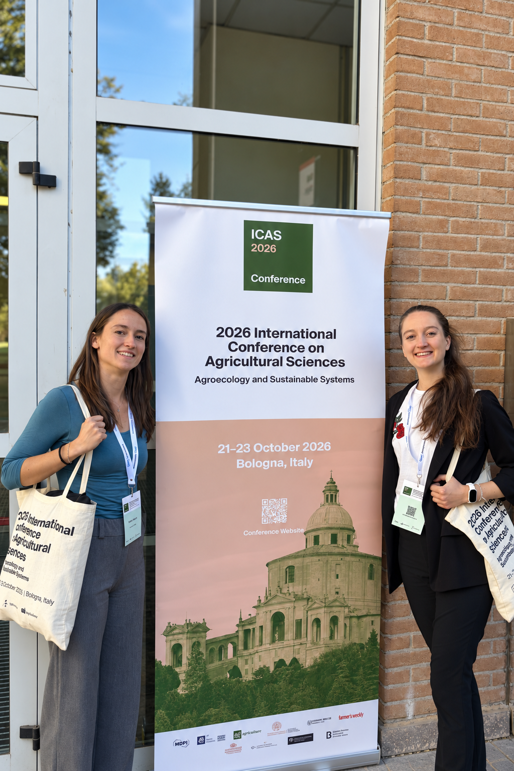
Oct 2026ICAS 2026 · Bologna

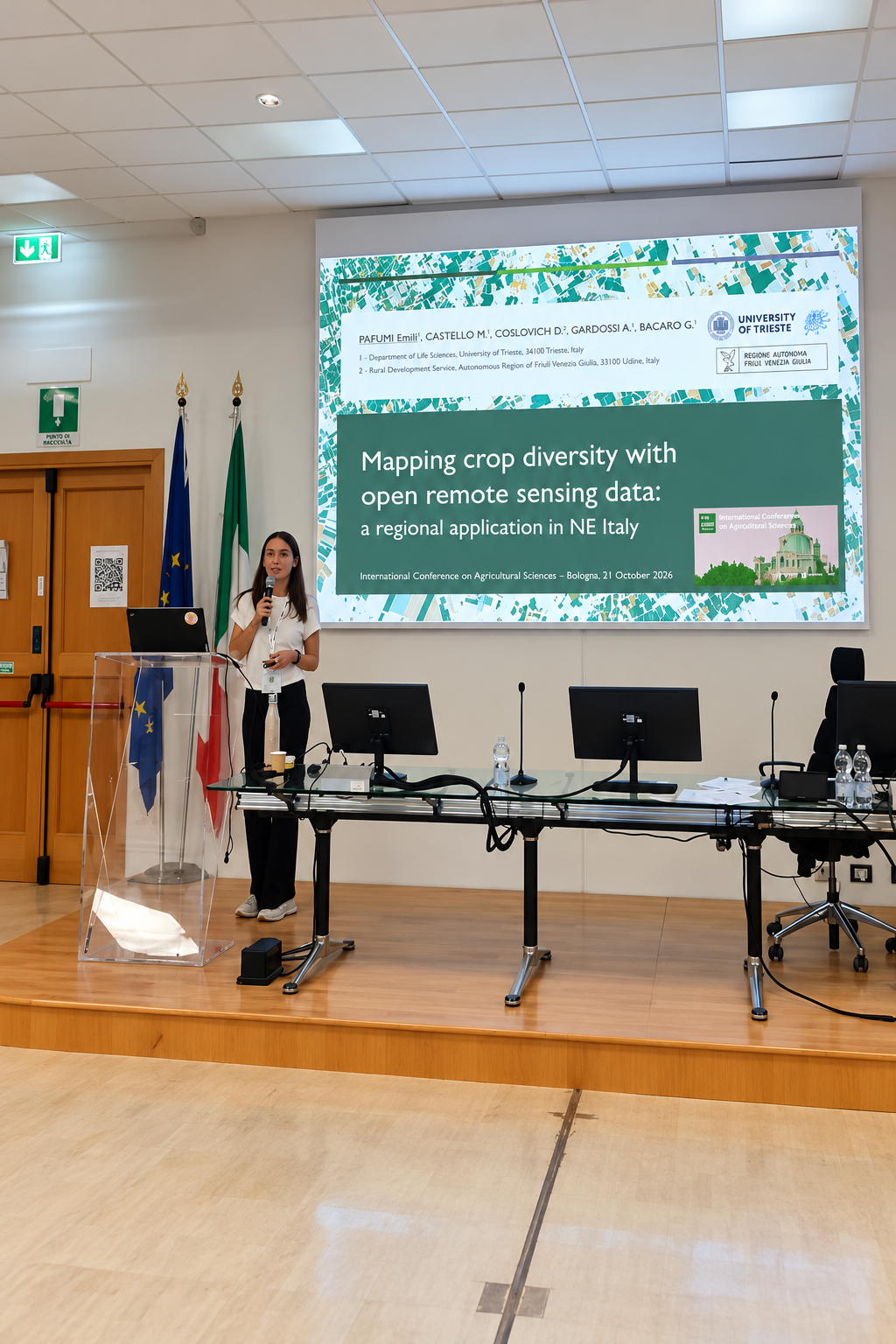
Oral contribution: “Mapping crop diversity with open remote sensing data: a regional application in NE Italy”, presenting the SICANSE Sentinel-2/openEO workflow for regional crop classification and cross-year transferability.

Scientific meetings & lab news

Recent activity from the lab.

Conference contributions and Biodiversity Lab updates directly connected to this researcher’s current work.

2026-10-26

From satellites to sustainable agriculture: Biodiversity Lab at ICAS 2026

Conference · Remote sensing

Read ↗
Selected publications

Recent & representative work.

A selected set of publications connected to the researcher’s current scientific profile. Publication and citation databases may differ in coverage and update frequency.

2026

Pixels and Patterns in the Sand: Decoding Coastal Dune Habitats With Multi-Resolution CNNs

Journal of Vegetation Science 37, e70173

DOI ↗
2026

Wetlands lead, but all ecosystems matter: quantifying conservation priorities for plant communities in agricultural landscapes

Biological Conservation 323, 112087

DOI ↗
2025

Fuzzy approaches provide improved spatial detection of coastal dune EU habitats

Ecological Informatics 86, 103059

DOI ↗
2024

Spatial patterns of coastal dune plant diversity reveal conservation priority hotspots in and out a network of protected areas

Global Ecology and Conservation 54, e03085

DOI ↗
2023

Using spectral diversity and heterogeneity measures to map habitat mosaics: An example from the Classical Karst

Applied Vegetation Science 26, e12762

DOI ↗