Anna Lilian Gardossi
Research Fellow

Anna Lilian Gardossi

Department of Life Sciences · University of Trieste

Research Fellow working at the intersection of remote sensing, GIS and agroecosystem analysis, with a current focus on soil-erosion risk and environmental monitoring across agricultural and forest systems in Friuli Venezia Giulia.

Research focus
Remote sensingSoil erosionAgroecosystemsGISMachine learningSmall landscape features
Profiles & identifiers
Research profile

Research trajectory & current work.

Anna Lilian Gardossi develops spatially explicit methods for monitoring agricultural and forest landscapes. Her work combines satellite Earth observation, GIS, field validation and machine-learning approaches to extract ecologically relevant landscape information and translate it into operational environmental indicators.

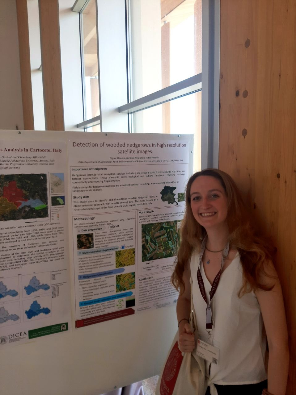
Before joining the University of Trieste, she worked at the University of Udine on High Nature Value farmland and on the mapping of small semi-natural landscape elements, including hedgerows, using Sentinel-2, PlanetScope and LiDAR data. She also contributed to university teaching in QGIS and geospatial analysis.

Her current research within Biodiversity Lab is connected to the SICANSE project and focuses on modelling soil-erosion risk and developing remote-sensing workflows for agro-forest systems in Friuli Venezia Giulia, including the application of neural networks and deep learning.
3Publication list · updated Sep 2026
FVGRegional agro-forest monitoring focus
EO + GISCore methodological framework
Academic & research trajectory

Selected milestones.

2018BSc · Environment and Nature

University of Trieste · quantitative environmental assessment and monitoring.

2022MSc · Global Change Ecology

University of Trieste · environmental and molecular monitoring within the Global Change Ecology programme.

2022–23Research Fellow

University of Udine · machine learning and remote sensing for small landscape elements.

2023–25Research Fellow

University of Udine · High Nature Value farmland mapping through remote sensing and GIS.

2024Master lecturer

University of Udine · QGIS and geospatial analysis.

2025–presentResearch Fellow · Biodiversity Lab

University of Trieste · SICANSE, soil-erosion risk and agro-forest remote sensing.

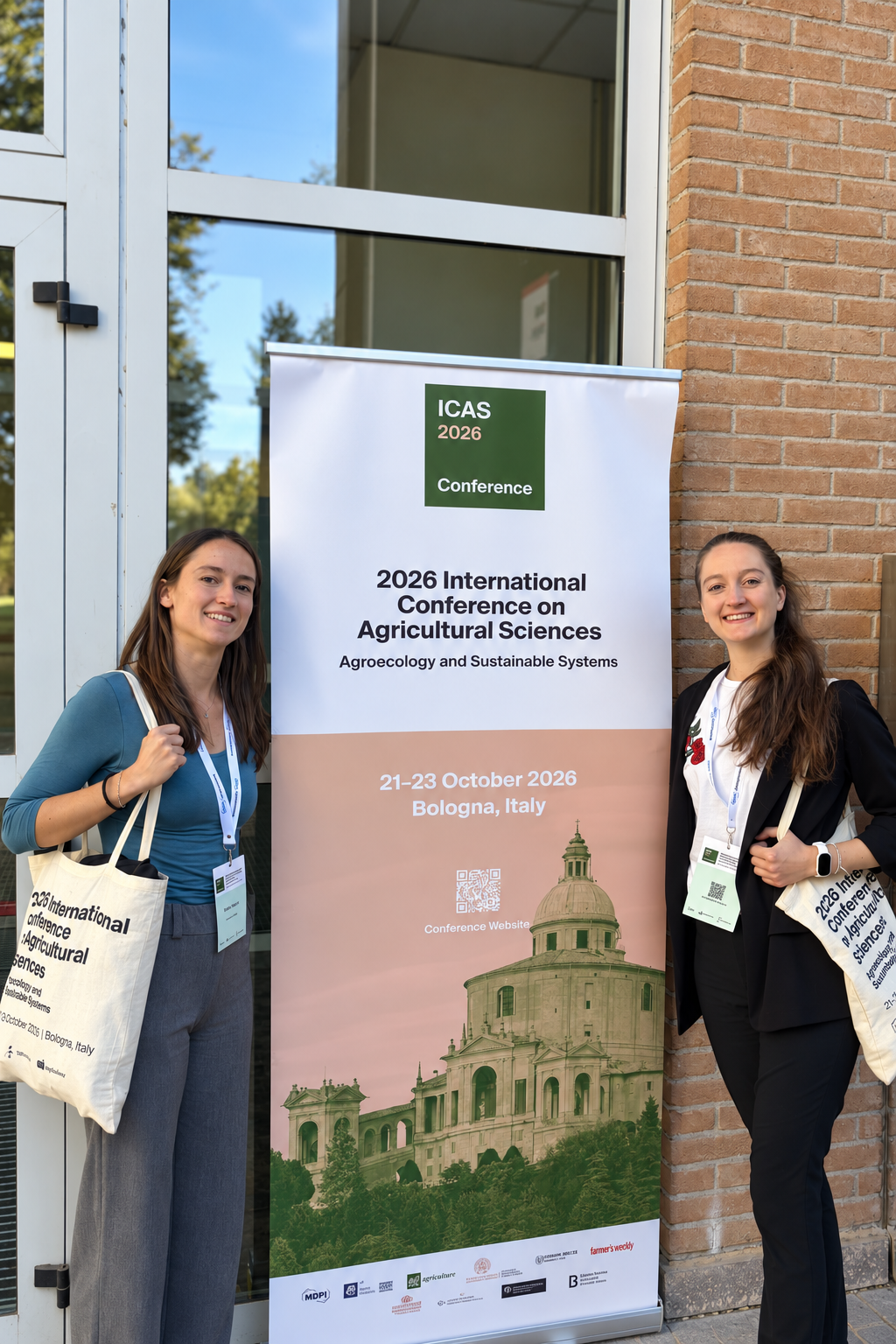
Oct 2026ICAS 2026 · Bologna

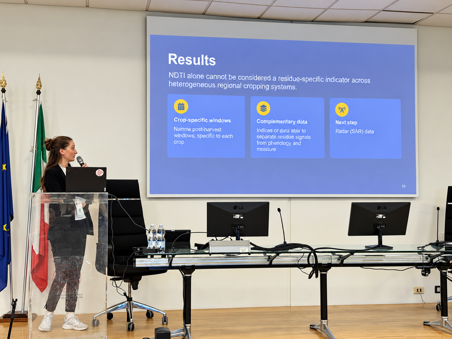
Oral contribution: “Satellite-based monitoring of crop residues: assessing NDTI reliability at the regional scale in Friuli Venezia Giulia”, presenting SICANSE results on Sentinel-2, NDTI/NDVI and operational monitoring of agricultural management.

Scientific meetings & lab news

Recent activity from the lab.

Conference contributions and Biodiversity Lab updates directly connected to this researcher’s current work.

2026-10-26

From satellites to sustainable agriculture: Biodiversity Lab at ICAS 2026

Conference · Remote sensing

Read ↗
Selected publications

Recent & representative work.

A selected set of publications connected to the researcher’s current scientific profile. Publication and citation databases may differ in coverage and update frequency.

2025

Semi-Automatic Extraction of Hedgerows from High-Resolution Satellite Imagery

Remote Sensing 17(9), 1506

DOI ↗
2022

SARS-CoV-2 RNA Recovery from Air Sampled on Quartz Fiber Filters: A Matter of Sample Preservation?

Atmosphere 13(2), 340

DOI ↗