MountResilience · FVG replicator / 28 October 2026
Climate adaptation, mapped from the ground up.
A day in Tolmezzo and Val Pesarina brought the Friuli Venezia Giulia replication plan into direct contact with local actors, changing mountain tourism and the biodiversity questions we want participatory GIS to help answer.
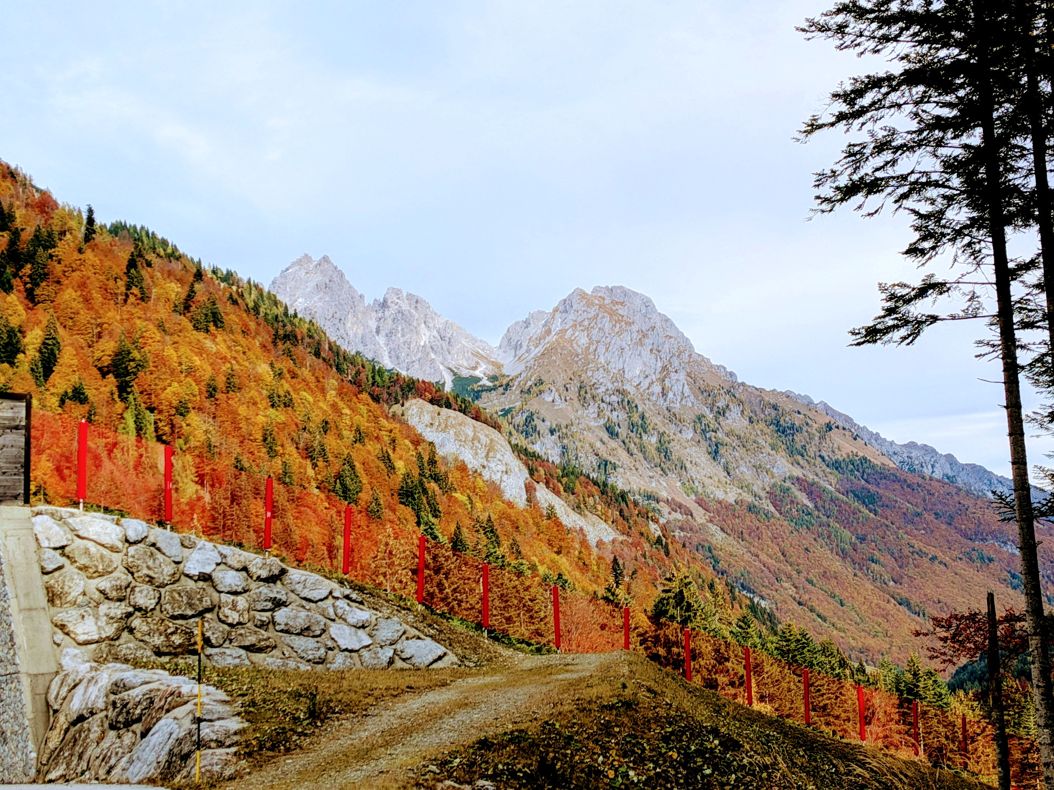
On 28 October, the Friuli Venezia Giulia MountResilience team moved from planning documents to places, people and concrete adaptation choices.
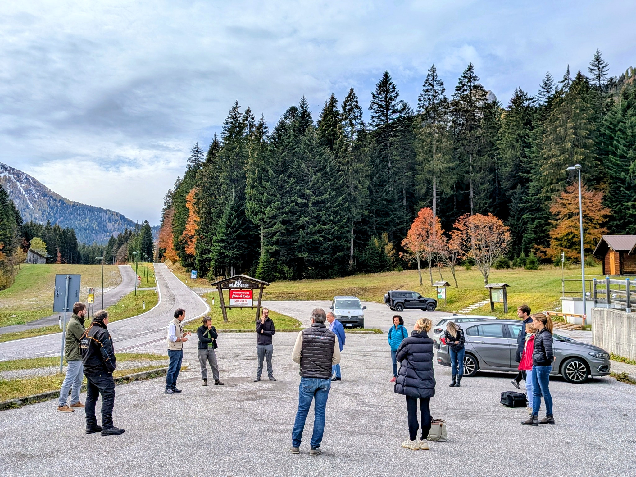
The visit began in Tolmezzo with the Carnia Mountain Community and continued through Val Pesarina, including the Pradibosco winter-tourism area, meetings with local economic operators and a visit to Pesariis. The aim was to discuss the regional replication plan, compare it with local experience and identify where approaches developed in other MountResilience regions could genuinely add value.
That distinction matters. Replication in MountResilience is not about importing a ready-made solution. It is about understanding which ideas can travel, what must change, and how a method can be rebuilt around the environmental, social and governance conditions of a new mountain territory.
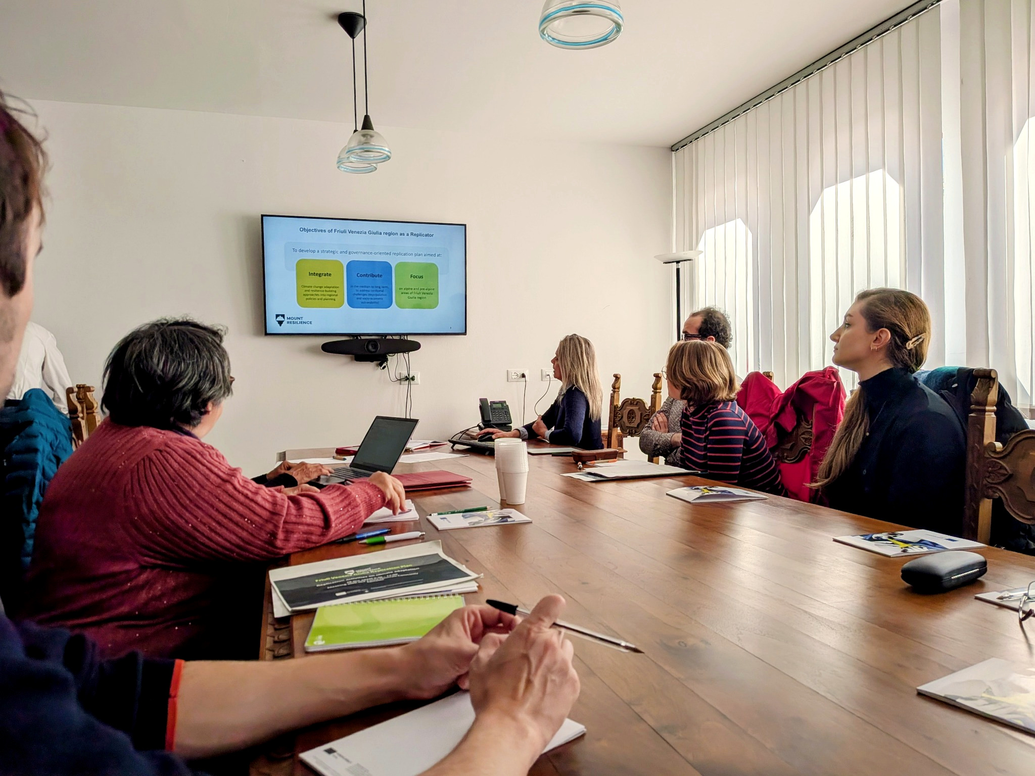
From regional strategy to local testing
Val Pesarina as a living replication context.
The current FVG pathway works across three connected levels. Val Pesarina provides a local setting in which to explore selected solutions; Carnia offers the territorial scale at which transferability can be tested; and the wider Alpine and Pre-Alpine region is the level at which successful approaches could inform future policy and planning.
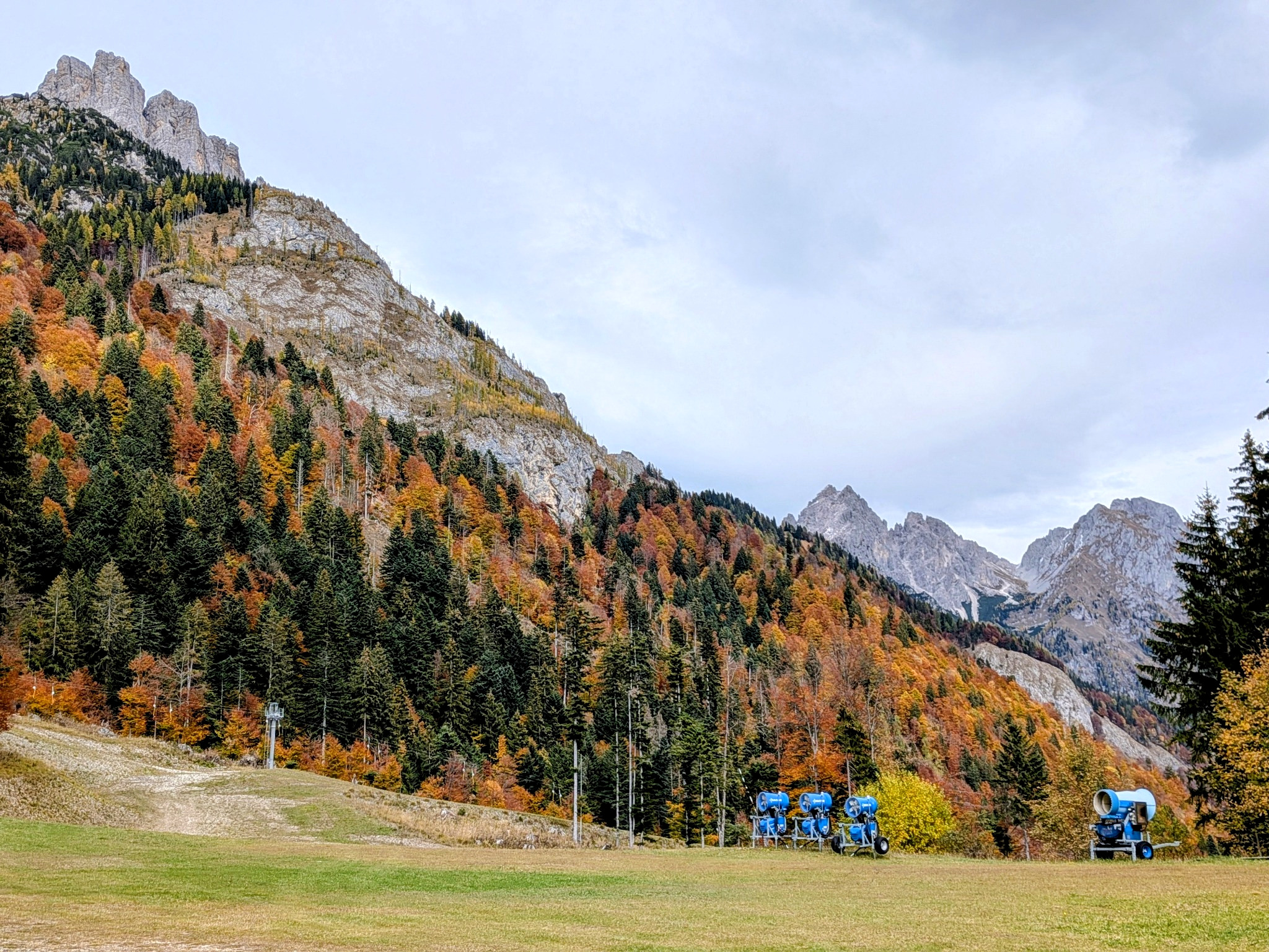
This makes Val Pesarina particularly useful. The valley already has experience from BeyondSnow, which explored how a snow-dependent tourism model can evolve toward more diversified, year-round and nature-based offers. MountResilience can build on that process rather than starting from zero.
Biodiversity Lab · Department of Life Sciences
Our proposed contribution: a PPGIS for biodiversity, climate and mountain use.
Within the University of Trieste contribution, Biodiversity Lab is exploring how the participatory PPGIS approach developed in the Lapland demonstrator could be adapted to the Carnic Alps.
The idea is to bring together two kinds of information that are often kept separate: what the territory tells us scientifically and what people experience while living in or visiting it. Biodiversity records, habitats, climate scenarios and expert knowledge can be combined with geolocated observations, perceptions and patterns of use collected from residents and visitors.
This is especially relevant for Val Pesarina, where the same trails and landscapes can be used differently by local communities, hikers, tourists and seasonal visitors. Understanding where those uses overlap with climate-sensitive species, biodiversity hotspots, invasive-species risks or vulnerable habitats can make adaptation planning more spatially explicit and more locally grounded.
Trails, tourism nodes, habitats and local-use areas.
Participatory mapping and citizen-science records, potentially including iNaturalist.
Expert review of species, habitats and ecological sensitivity.
Climate, biodiversity, tourism use and local knowledge in a shared spatial framework.
Vulnerable locations, priority trails, adaptation options and nature-based tourism.
The broader question
What happens when climate change alters both biodiversity and the way people use the mountain?
Reduced snow reliability can change the economics of winter tourism. Warmer conditions and altered precipitation can shift habitats and species distributions. At the same time, tourism may move toward new seasons, new activities and new routes.
Those transitions can create opportunities, but they can also redistribute pressure across the landscape. A participatory spatial approach can help identify where local use and tourism use reinforce each other, where they conflict, and where biodiversity or ecosystem sensitivity should influence the design of future activities.
For our laboratory, this is the most interesting part of the replication challenge: using biodiversity science and GIS not as a layer added at the end, but as part of the discussion about how mountain territories adapt.
What the visit clarified
Replication means building a local pathway.
BeyondSnow, local surveys and the Carnia Mountain Community already provide knowledge and relationships that MountResilience can extend.
What is explored in Val Pesarina must be tested for transferability across Carnia before it can inform wider regional strategies.
PPGIS can connect perceptions, tourism behaviour and local knowledge with ecological evidence and climate scenarios.
Biodiversity Lab · People
Who is working on the FVG replication pathway.
Within the Department of Life Sciences contribution to MountResilience, Biodiversity Lab is developing the biodiversity, GIS and participatory-mapping component of the Friuli Venezia Giulia replicator. The work connects ecological evidence, spatial analysis and stakeholder knowledge to the local adaptation questions emerging in Val Pesarina and Carnia.
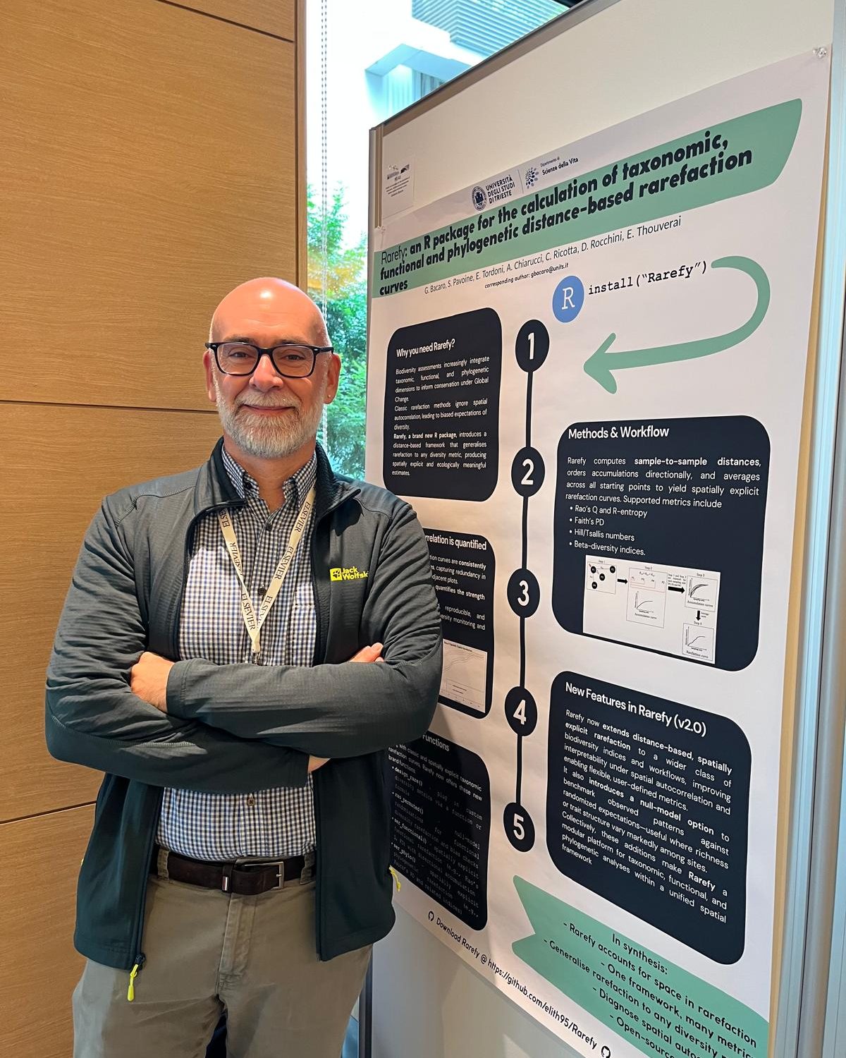
Coordinates the Biodiversity Lab contribution, with a focus on biodiversity, spatial ecology, GIS and the adaptation of participatory mapping to climate-resilient mountain planning.
Profile ↗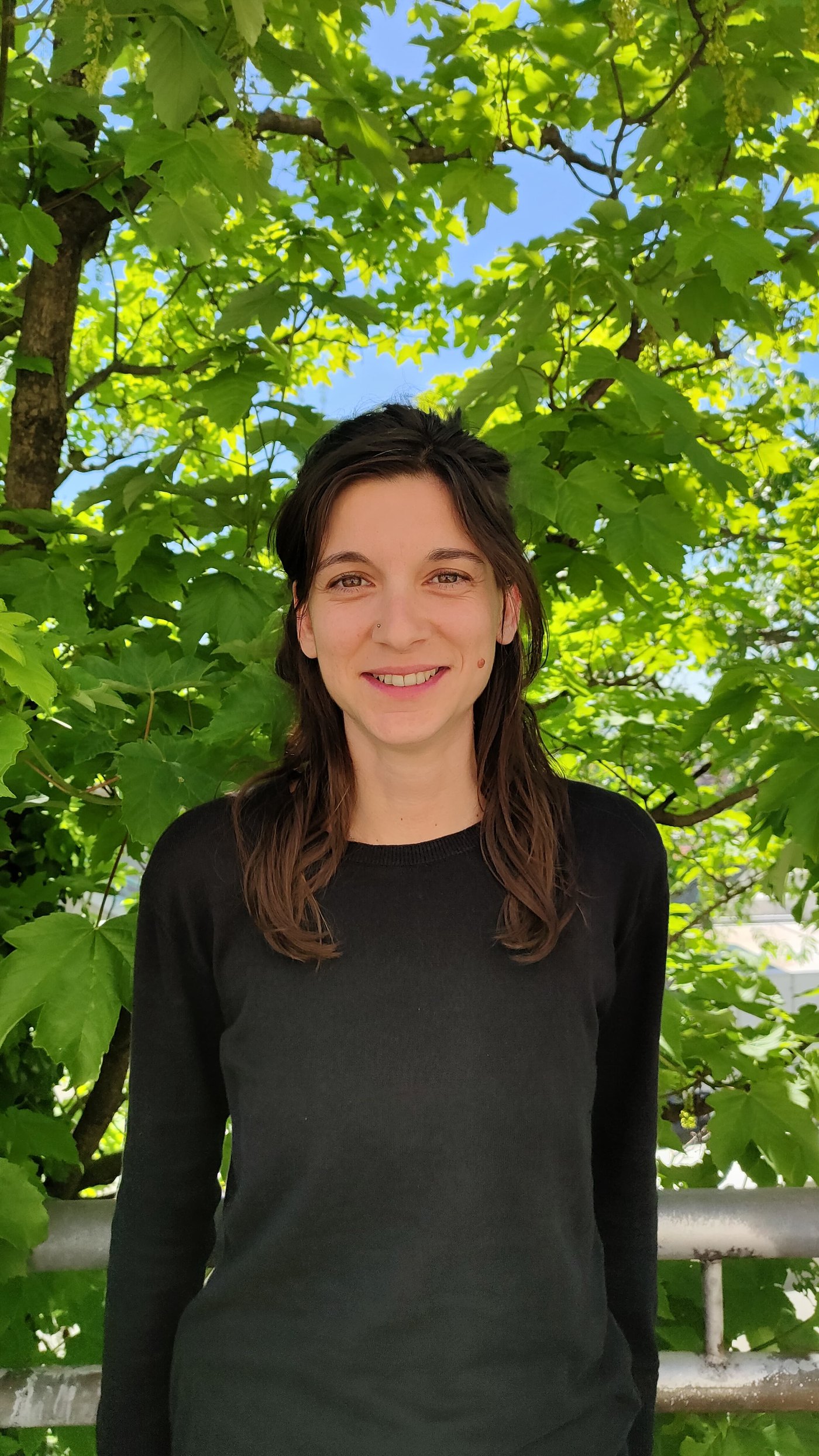
Contributes ecological-connectivity, GIS and biodiversity expertise to the spatial and participatory assessment of mountain landscapes and adaptation priorities.
Profile ↗