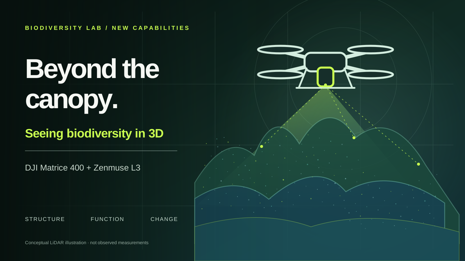
Our new DJI Matrice 400 and Zenmuse L3 open a third dimension for ecology: measuring vegetation structure and connecting it with functional diversity, spectral data and environmental change.
1535 nmZenmuse L3 laser wavelength
16maximum laser returns per pulse
2 × 100 MPintegrated RGB mapping cameras
3 cmDJI-stated vertical RMSE at 120 m under specified test conditions
A forest is more than the area covered by its canopy. Its ecological complexity lies in height, gaps, layers, microhabitats and the changing architecture of vegetation. With the arrival of a DJI Matrice 400 and Zenmuse L3, Biodiversity Lab at the University of Trieste can investigate this three-dimensional world directly, linking detailed structural measurements to questions about plant diversity, functional strategies and ecosystem change.
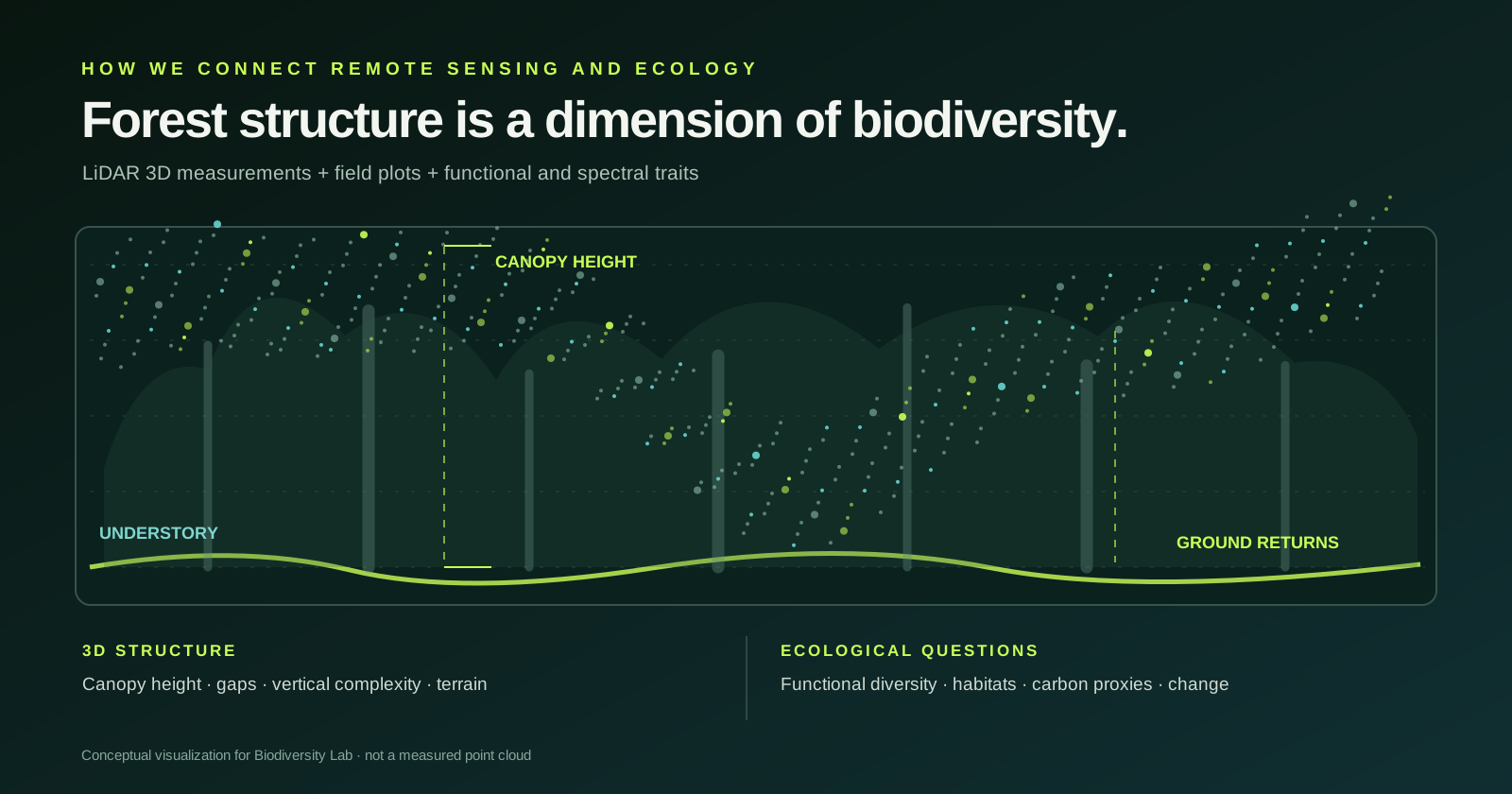
Satellite imagery and hyperspectral sensors reveal patterns of reflectance and vegetation properties; field surveys identify species and measure their traits. Airborne LiDAR adds the geometry in between: canopy height, vegetation layering, gaps, understory structure and the shape of the terrain beneath vegetation. Together, these complementary observations allow us to ask not only where biodiversity occurs, but how vegetation structure and ecological function are related.
From a flat map to a living, three-dimensional habitat
A forest is a vertical ecosystem. The height of the canopy, its irregularity, the distribution of branches and foliage, the size of gaps and the continuity of the understory all help shape habitat conditions. Using dense LiDAR point clouds, we can reconstruct many of these properties at the spatial resolution needed to connect airborne observations with ecological field plots.
The L3 uses a 1535 nm laser and supports up to 16 returns, making it possible to record returns from different surfaces within the vegetation and, where conditions allow, from the ground below. The resulting products can include a digital terrain model, canopy-height models and metrics of vertical and horizontal structural heterogeneity. Actual penetration and point density depend on vegetation density, acquisition geometry and survey conditions.
Where structure meets functional diversity
One of the most promising research directions is to examine whether variation in vegetation structure reflects differences in the functional strategies of plant communities. Canopy height and crown architecture, for example, can be analysed alongside field-measured traits such as specific leaf area, leaf dry matter content, wood density and plant height. Integrating these datasets will let us test relationships between structural complexity, functional composition and functional diversity across habitats and environmental gradients.
LiDAR does not identify species or measure leaf physiology by itself. That is precisely why the new platform is important for our laboratory: it complements our existing vegetation surveys, hyperspectral imaging, thermal observations and satellite Earth observation. The combination offers opportunities to compare structural diversity with spectral diversity, model habitat characteristics and evaluate which remote-sensing indicators are reliable proxies for ecological properties.
One platform, multiple ecosystems and research questions
In forests and woodlands, 3D surveys can support research on canopy architecture, gap dynamics, regeneration, aboveground biomass proxies and habitat structural complexity. In coastal dunes and shrublands, they can help map low vegetation, microtopography and the spatial organisation of fragmented plant communities. Along rivers and wetlands, repeat surveys may reveal changing landforms, vegetation encroachment and the structural consequences of disturbance and restoration.
Urban forests provide another especially relevant application: measuring tree and canopy structure, identifying gaps in urban green infrastructure, and investigating how structural complexity relates to biodiversity and ecosystem functions. These are research applications to develop and validate through field campaigns, not outcomes that a sensor alone can guarantee.
Repeat the survey. Understand the change.
Because LiDAR creates georeferenced three-dimensional measurements, carefully standardised repeat flights can help distinguish structural changes from differences in illumination that affect optical images. Potential applications range from monitoring canopy development and storm damage to evaluating restoration trajectories, disturbance recovery and vegetation change over time.
The new Matrice 400 provides a robust aerial platform, while the L3 combines active laser scanning with dual 100-megapixel RGB mapping cameras. DJI reports 3 cm vertical point-cloud RMSE at 120 m under controlled test conditions; field performance will be evaluated with appropriate ground control and independently checked against plot and reference measurements. Flight time, spatial coverage and survey detail will vary with payload, terrain, vegetation and operational restrictions.
Building on research: forest structure, biodiversity and the Vaia storm
This new capability builds on questions already addressed by our research network. In a 2024 study co-authored by Michele Torresani and Giovanni Bacaro, airborne LiDAR data collected before the Vaia windstorm were used to examine how forest structure and topography were associated with storm damage in four Alpine areas. Mean forest height, density and slope orientation helped explain observed damage patterns, while height heterogeneity was not a significant predictor in that study. The lesson is methodological as well as ecological: structural metrics are informative, but their meaning depends on the disturbance process and landscape context.
Related research led by Torresani used NASA GEDI spaceborne LiDAR to investigate the height-variation hypothesis and its relationship with forest species diversity, showing both the potential of canopy-height heterogeneity and its sensitivity to data resolution, heterogeneity indices and forest density. The new UAV system will let us explore comparable questions at the finer grain of field plots, with explicit links to plant traits and independent ground observations. These are research directions, not findings already obtained with the L3.
A new instrument for an integrated ecological workflow
Our next step is not simply to fly the new platform: it is to design ecological studies around it. We will pair pilot LiDAR surveys with vegetation plots, trait measurements and complementary optical observations, check the geometric accuracy of the point clouds and compare structural metrics across spatial scales. This is how an impressive three-dimensional reconstruction becomes a testable ecological hypothesis.
The new system broadens the services and collaborative research we can develop with universities, conservation organisations, protected areas and public administrations. It strengthens Biodiversity Lab’s ambition to connect field ecology, advanced sensors and quantitative analysis—from individual plants and local habitat mosaics to landscape-scale biodiversity monitoring.